



Valparola - Störes - San Cassiano
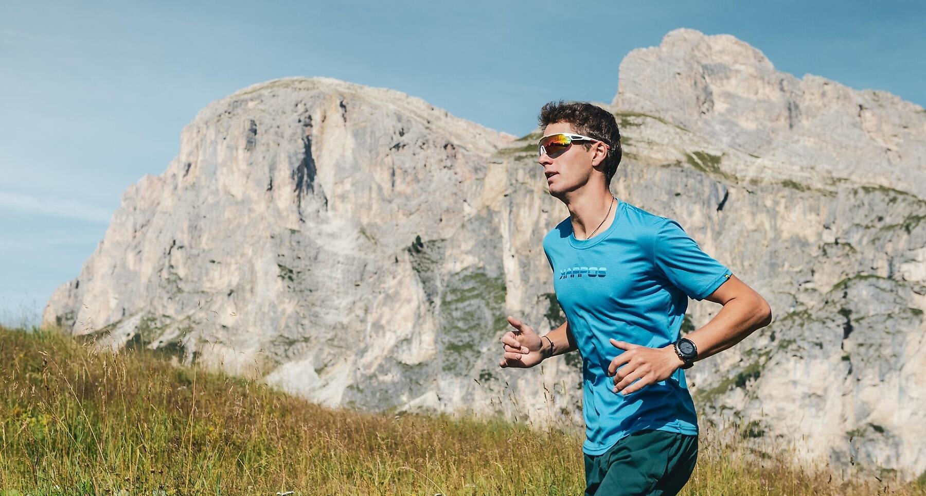
14 km from Valparola Pass to San Cassiano, across the meadows of Störes, along alpine trails and with stunning views of the Dolomites, surrounded by the nature of Alta Badia.
14 kilometres and around 320 metres of elevation gain, along alpine trails, across mountain meadows and with beautiful views of the Dolomites.
Starting at Valparola Pass, the route initially follows the open mountain landscape around Störes. From here, the trail descends towards San Cassiano, passing through wide meadows, along mountain paths and through forests. The scenery gradually changes along the way, from open views at higher elevations to the greener and quieter surroundings of the valley.
An ideal route for those who love trail running and want to discover some of the most beautiful corners of Alta Badia, enjoying the freedom of running in nature surrounded by the Dolomites.
Coordinates
- DD 46.531770, 11.988513
- DMS 46°31'54.4"N 11°59'18.6"E
- UTM 32T 729175 5157473
- w3w ///handshake.cynical.boxing