



La Villa - Val Medesc - Fanes - Sciaré
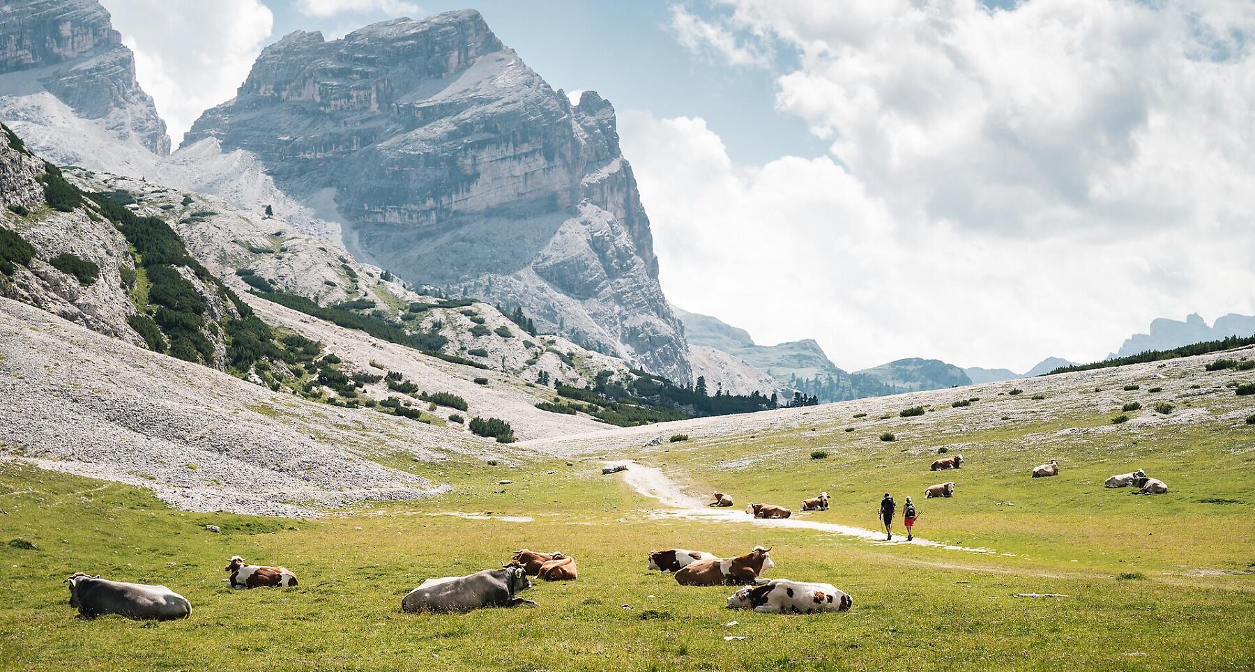
22 km from La Villa to Fanes via Val Medesc, along alpine trails, through forests and past stunning Dolomites views. A challenge for trail running enthusiasts.
22 kilometres and 1,500 metres of elevation gain, along mountain trails, through forests and past some of the most beautiful views of the Dolomites.
Starting in La Villa, the route winds through Val Medesc before reaching the Fanes area, offering stunning views and an immersive experience in the unspoilt nature of Alta Badia. Challenging climbs, alpine trails and varied descents shape the route as it continues towards Sciaré. The landscape constantly changes along the way, making every section a unique experience.
A route for those who love trail running and enjoy challenging themselves in the mountains, while still taking the time to appreciate the scenery and the beauty of the surroundings.
Coordinates
- DD 46.583393, 11.904612
- DMS 46°35'00.2"N 11°54'16.6"E
- UTM 32T 722530 5162968
- w3w ///gory.trivet.angle