


Hike from Corvara to the Col Alt – Pralongiá plateau

Easy hike across alpine meadows and wide trails with stunning views to the Marmolada and the Alps.
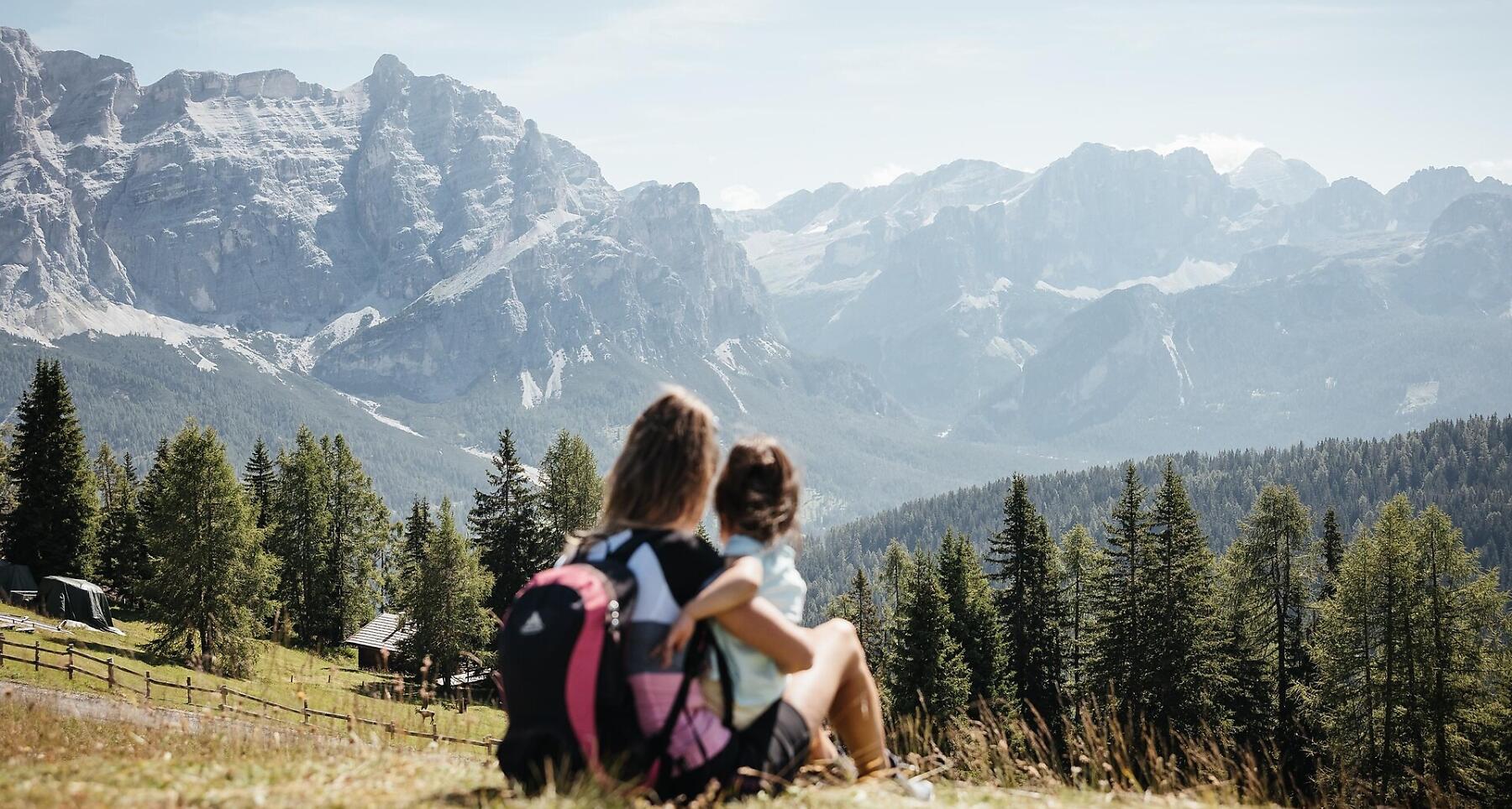
This easy hike with little variation in altitude goes along gravel roads and wide trails across a high plateau typical of the Dolomites, with Alpine pasture land and inviting mountain huts. The panoramic views are amazing, ranging from the local Dolomites to the Marmolada glacier and the Austrian Alps.
Roadbook
From the top station of the Col Alto gondola lift, take trail no. 23b south-eastwards down to a saddle and then head left on trail no. 23 through sparse trees and across fields eastwards and upwards to the Piz Arlara hut (2,003 m). Continue eastwards over alpine pasture land to a fork in the trail. Take a right on trail no. 23, which climbs gently to the Ütia de Bioch hut (2,079 m). Continue south on mountain trail no. 23 across flower-filled alpine meadows to the Pralongiá hut (2,157 m).
The descent to Corvara goes initially south-west on trail no. 24 down to the La Marmotta hut, then continues north on trail no. 24 through sparse woodland and across meadows, past the Capanna Nera hut and down to the Arlara and Panorama hotels. Finally a quiet asphalt road takes you back to Corvara.
The top station of the Col Alto gondola lift can also be reached on foot from the centre of Corvara in about 1,5 hours, on trails no. 24 and no. 30.
Public transport
Getting to the starting point of the tour or point of interest by public transport is easy and convenient.
How to get there
Follow the SS244 Val Badia road towards Corvara.
Coordinates
- DD 46.552689, 11.886405
- DMS 46°33'09.7"N 11°53'11.1"E
- UTM 32T 721260 5159505
- w3w ///smokes.dirtied.prototype