


Hike Corvara - Colfosco
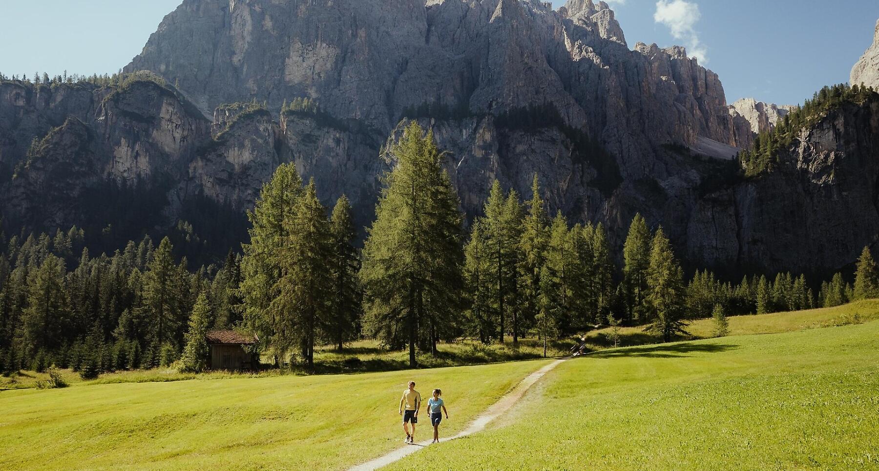

Easy walk Corvara–Colfosco with stunning views of Grup dl Sela and Sassongher.
Easy walk from Corvara along the river to Hotel Bel Sit, passing through Pescosta to Colfosco and back to Corvara.
Roadbook
Go north from the car park at the Boé cable car, until you reach the road leading from Corvara to Colfosco. Staying on the right and following the signs to La Villa - Tru do l'ega, pass Hotel Col Alto, and walk towards La Villa until you come to the junction close to the Hotel Bel Sit. Keeping left, follow trail no. 10 in the direction of Pescosta and Colfosco. Firstly climb through the wood before turning south through the meadows. You will pass close to the farms Ai Sanc, Mersa and Costa before arriving in Colfosco (1h 10min.). From here, walk down towards the south, through the valley bottom's pastures, coming to river Pisciadú (no. 645). From here go in the direction of the campsite, returning to Corvara - Boé cable car.
Public transport
Getting to the starting point of the tour or point of interest by public transport is easy and convenient.
How to get there
Follow the SS244 Val Badia road towards Corvara.
Coordinates
- DD 46.549189, 11.871557
- DMS 46°32'57.1"N 11°52'17.6"E
- UTM 32T 720136 5159075
- w3w ///hurry.shortcuts.catastrophe