


From Badia to the sanctuary of La Crusc/S.Croce and back through the Armentara meadows

La Crusc – historic pilgrimage site beneath the majestic Sas dla Crusc. Stunning 360° views of Marmolada, Grup dl Sela, and the Alps.
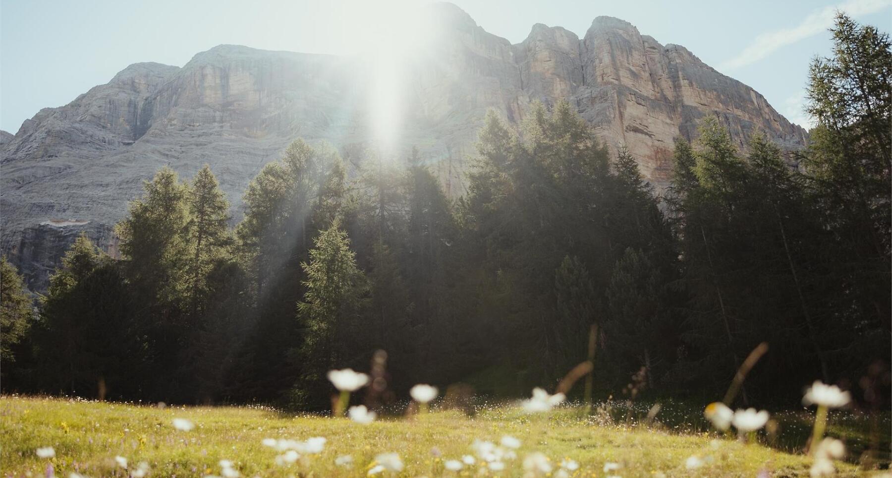
An extremely enjoyable excursion which, from the La Crusc/S.Croce sanctuary, takes you through the breathtaking Armentara meadows, renowned for their abundance of flowers. The panorama is wonderful with the Sas dla Crusc mountain which soars upwards and the magnificent view which extends from the Marmolada to the Grup dl Sela, from Puez-Odle to Pütia and out over Alta Badia’s verdant valley.
Roadbook
From Badia ascend with the chair lift and cable car to the La Crusc/S.Croce sanctuary (2045 m). The excursion starts from above the church, following trail nr. 15 towards Armentara. The path is flanked by the Via Crucis stations and crosses wide meadows till the next junction. Here, follow trail nr. 15A which sloping gently downwards, crosses the Armentara meadows to the edge of the wood. Continue on the left and follow the sign for “Roda de Armentara - Badia“. After a slight climb, you reach the Ütia Ranch da André hut (1h). The trail continues south as before, following the indication “Roda de Armentara - Badia“ initially on the flat then gently downhill through the Valacia hollow. Walk alongside a small lake (biotope). The descent continues, passing the Razuns barns towards the Valgiarëi farm. At the junction, go left, still following the directions for “Roda de Armentara - Badia“. Once you have left behind the farms of Cialaruns, Alfarëi, Ruac and Fussé, you reach Badia and the excursion’s starting point.
Public transport
Getting to the starting point of the tour or point of interest by public transport is easy and convenient.
How to get there
Follow the SS244 Val Badia road towards Badia.
Coordinates
- DD 46.614433, 11.938560
- DMS 46°36'52.0"N 11°56'18.8"E
- UTM 32T 725002 5166514
- w3w ///cyber.establishing.moistens