






Enrosadira Trail - 55k ultra
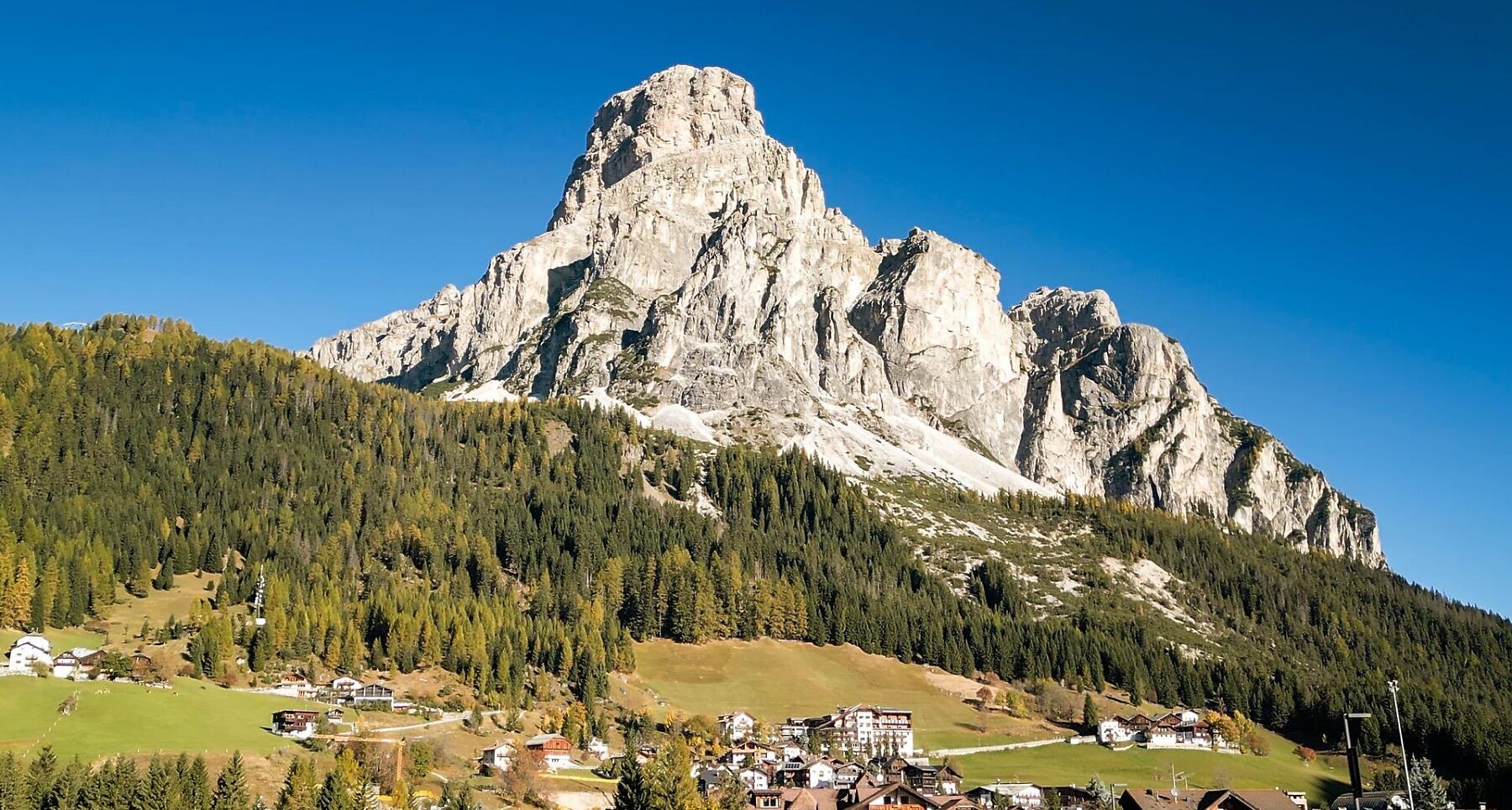
A 55 km loop through the entire valley, starting and finishing in La Val, along iconic trails at the gateway to the Dolomites’ natural parks.
55 kilometres, 3,400 metres of elevation gain and 93% of the course on trail paths. A journey through the entire Val Badia, among forests, alpine meadows and spectacular Dolomite panoramas.
A perfect loop embracing the entire valley. The start and finish are in La Val, while the course follows some of the most iconic trails running along the edges of the surrounding natural parks – one majestic Dolomite journey from start to finish.
The 55K course ranges from a minimum elevation of 1,154 metres to a maximum of 2,127 metres. A varied and demanding trail featuring constant elevation changes and a high percentage of natural trails, taking runners through some of the most spectacular landscapes of Val Badia.
55 kilometres through the heart of the Dolomites, one step at a time, all the way back to the finish in La Val.
Coordinates
- DD 46.657700, 11.924790
- DMS 46°39'27.7"N 11°55'29.2"E
- UTM 32T 723769 5171282
- w3w ///stamina.calibration.landlady