






Enrosadira Trail - 40k medium
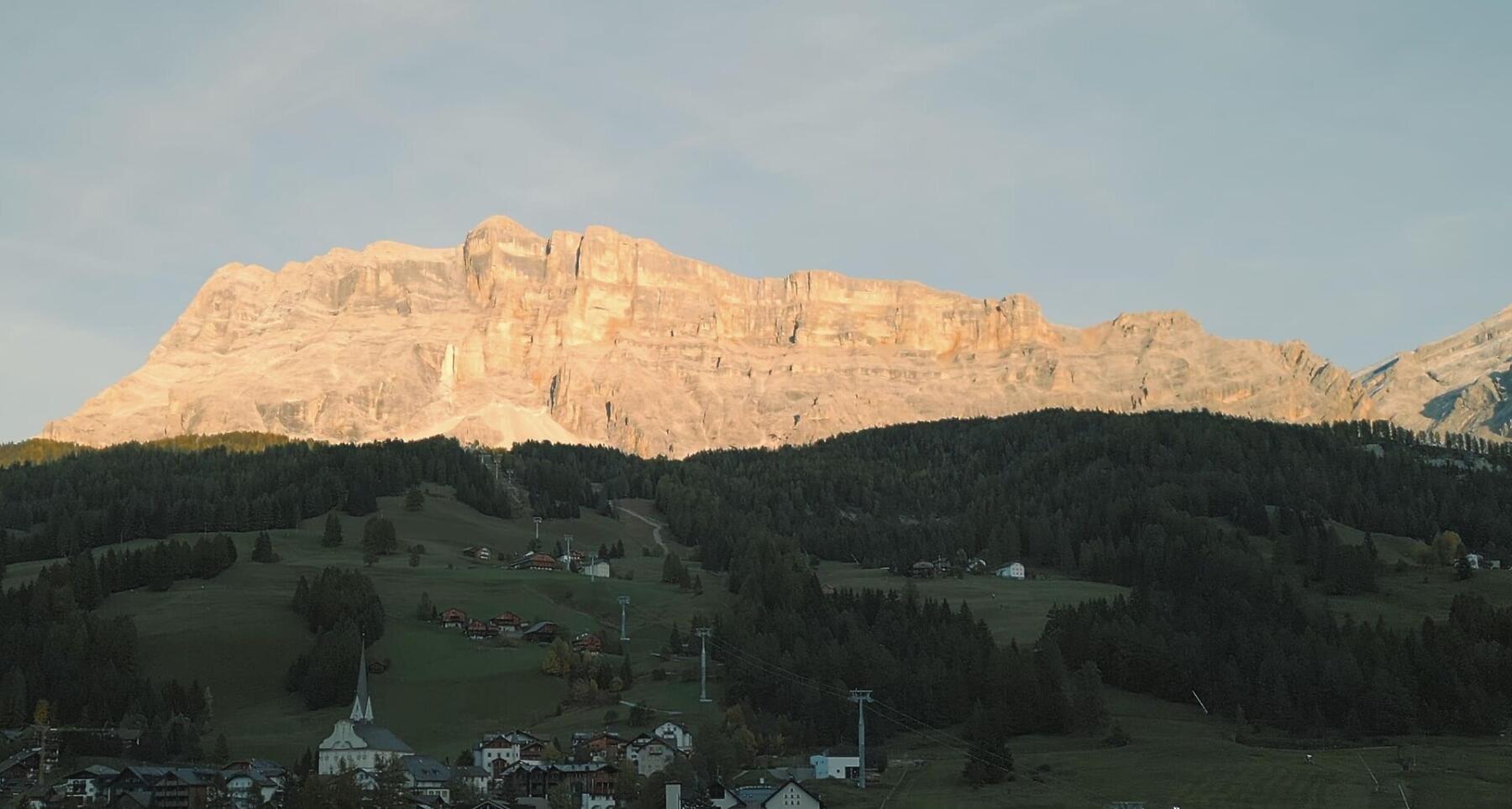
40 km through the heart of the Dolomites, with forests, alpine meadows and spectacular views, passing Gardenaccia, La Villa, La Crusc – Santa Croce and Prati del Rit.
40 kilometres and 2,450 metres of elevation gain. A journey into the spectacular heart of the Dolomites, through alpine trails, forests and wide-open panoramas.
The course starts and finishes in La Val, taking trail runners through some of the most iconic places in Val Badia, including Gardenaccia, La Villa, La Crusc – Santa Croce and the Prati del Rit.
A varied and demanding loop, with constant elevation changes and ever-changing landscapes: from forest trails and alpine meadows to spectacular viewpoints overlooking the Dolomites.
40 kilometres of trail, one step at a time, where every climb opens up new perspectives and the effort is accompanied by the beauty of an ever-changing landscape.
Coordinates
- DD 46.657690, 11.924980
- DMS 46°39'27.7"N 11°55'29.9"E
- UTM 32T 723784 5171281
- w3w ///caramel.swelled.collectives