






Enrosadira Trail - 20k short
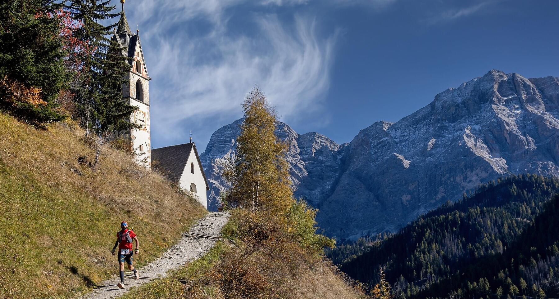
The ideal distance to discover the soul of the Enrosadira Trail: 20 km through forests, climbs and panoramic views of the Dolomites around La Val.
20 kilometres and 1,250 metres of elevation gain. The perfect distance to discover the spirit of the Enrosadira Trail, through alpine trails, forests and spectacular Dolomite panoramas.
A loop with start and finish in La Val, taking trail runners through some of the most characteristic places in the area, including the Prati del Rit, the Church of Santa Barbara and the traditional Viles.
The course runs entirely around La Val, the first European Hiking Village certified in South Tyrol. An authentic and unspoilt landscape where alpine meadows, forests and traditional settlements meet an extensive network of trails, making La Val a true gateway to the mountains.
20 intense and authentic kilometres, perfect for those who want to experience the Enrosadira Trail over a more compact distance, without giving up the nature and spectacular scenery that make La Val so special.
Coordinates
- DD 46.657690, 11.924980
- DMS 46°39'27.7"N 11°55'29.9"E
- UTM 32T 723784 5171281
- w3w ///caramel.swelled.collectives