



Colfosco - Puez - Gardenaccia - La Villa
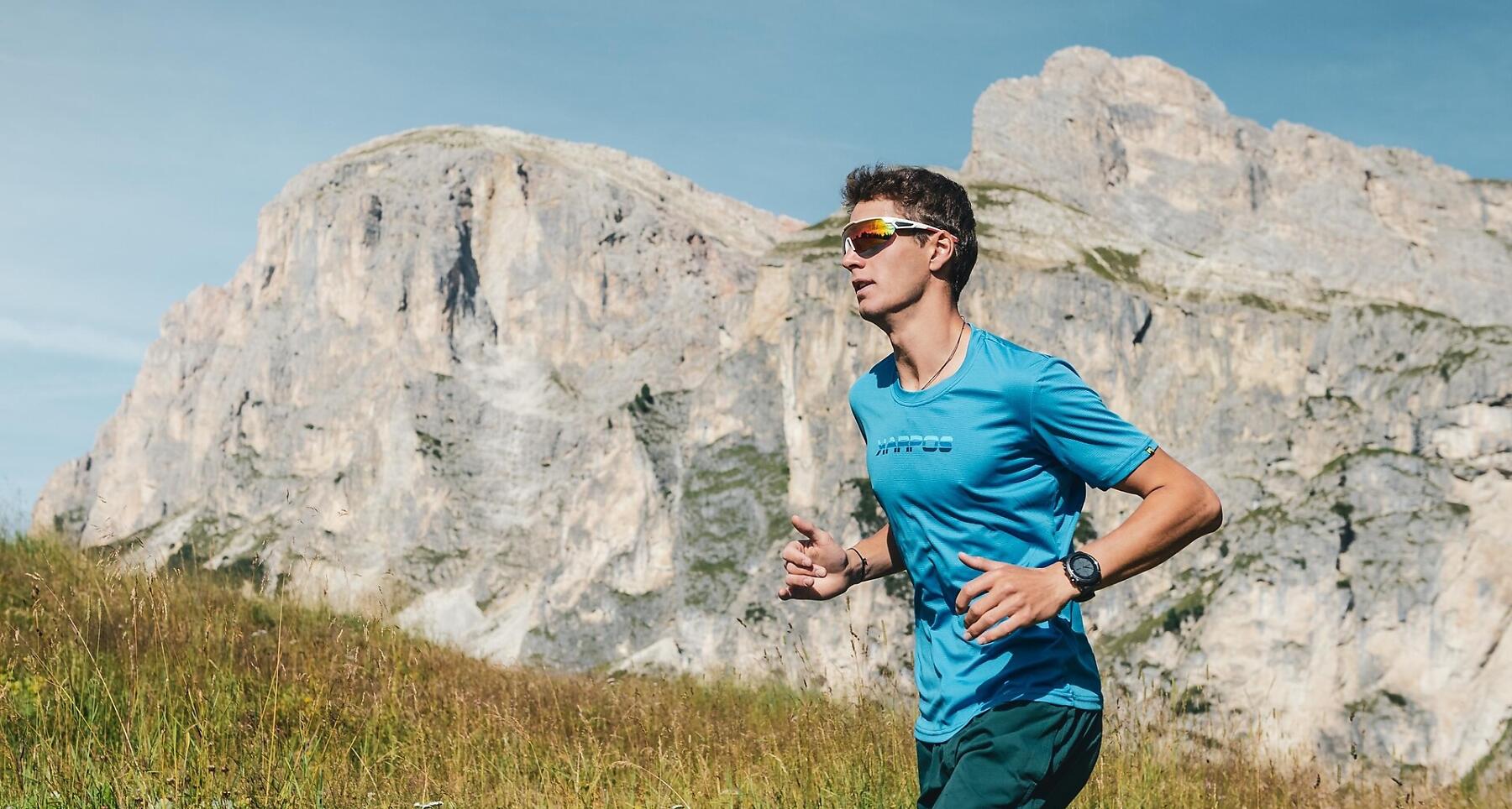
From Colfosco to La Villa via the Puez Plateau and Gardenaccia, along alpine trails, challenging climbs and breathtaking views of the Dolomites.
12 kilometres and around 920 metres of elevation gain, along alpine trails, through high-mountain landscapes and past stunning views of the Dolomites.
Starting in Colfosco, the route climbs towards the Puez Plateau, crossing a unique mountain landscape with impressive views of the surrounding peaks. The trail then continues towards Gardenaccia, combining challenging climbs with varied descents before reaching La Villa.
An ideal route for those who love trail running and enjoy a challenge, discovering some of the most beautiful landscapes of Alta Badia, surrounded by nature and the Dolomites.
Coordinates
- DD 46.554253, 11.855151
- DMS 46°33'15.3"N 11°51'18.5"E
- UTM 32T 718858 5159592
- w3w ///dentist.bulldozing.harpoon