


Climb to the "Ciaval" peak on the Sas dla Crusc/Santa Croce


Spectacular hike through legendary landscapes in Badia – untouched nature, dramatic cliffs and the true spirit of the Dolomites.
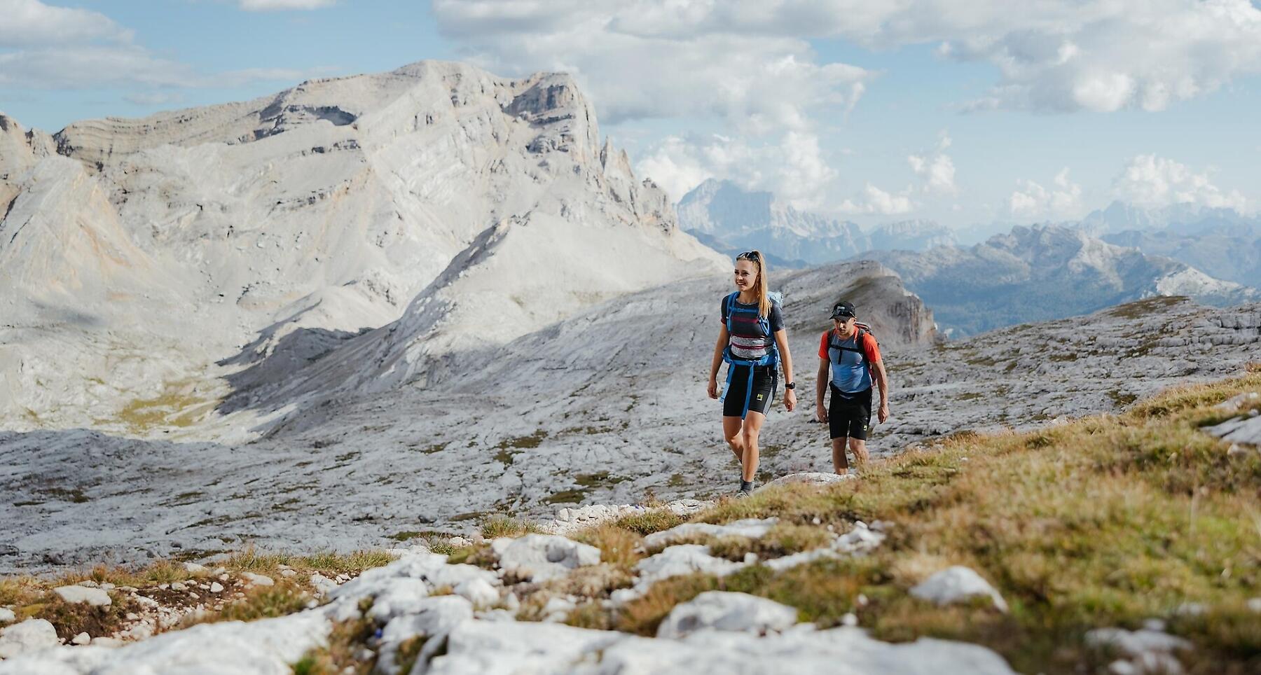
One of the most beautiful hikes in Alta Badia and the Dolomites.
Untouched nature, vertical walls soaring skywards that turn red at sunset, and a breathtaking view extending over the green valley of Badia on one side and the legendary landscape of the Fanes Alp on the other. The characteristic Dolomite flora, together with marmots and chamois, all combine to make this a truly unforgettable walk.
Roadbook
From Badia, ascend by chairlift and cable car to the La Crusc Sanctuary (2045 m). From here, take trail no. 7, heading east, then turn south and pass through groups of mugo pines and scree, reaching the rocky slopes. Fixed steel cables help you to get over the precipices. The hike continues rapidly gaining height, climbing over ledges and scree-covered slopes until you reach the Ju dla Crusc ridge (2598 m) (1h 30min.). At this point, leave path no. 7 and head left along the ridge. Follow trail no. 7B up to the highest point of the tour, the peak Le Ciaval (2907 m) (2h 35min.). From here, you can enjoy an awesome panorama over the entire world of the Dolomites. Return along the same route to the ridge. Proceed on trail no. 7 eastwards towards Fanes. After 200 m, continue on trail no. 12B towards the Forcela de Medesc notch (2533 m) (1h 30min.). From here, follow trail no. 12 westwards down to the Val de Medesc valley. After an initial very steep scree section, the walk continues pleasantly through woods, meadows and pastures, passing farms and little villas, until you reach the village of La Villa (2h 30min.).
Public transport
Getting to the starting point of the tour or point of interest by public transport is easy and convenient.
How to get there
Follow the SS244 Val Badia road towards Badia.
Coordinates
- DD 46.614258, 11.936812
- DMS 46°36'51.3"N 11°56'12.5"E
- UTM 32T 724869 5166489
- w3w ///wifely.unique.formulas