






Winter hike Corvara - Pisciadú waterfalls
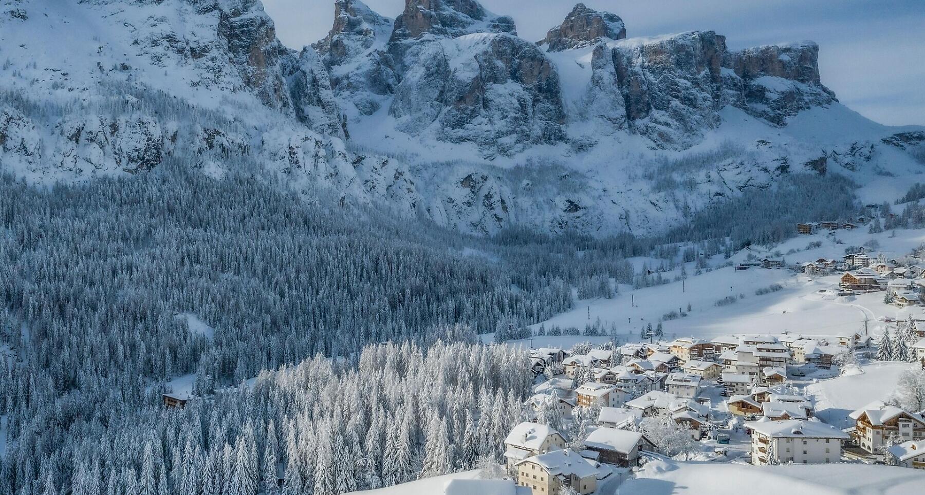


An easy walk through meadows and woods from Corvara to the Pisciadú waterfall in Colfosco.
The beautiful, almost flat walk from Corvara to Colfosco crosses cool woods, following the Rü de Pisciadú stream up to the nearby waterfall of the same name, at the foot of the Sella Group.
Roadbook
From the Boé cable car parking lot, walk down toward the main road and turn left, following the road in the direction of Colfosco. Once you reach the Carabinieri station, cross the road at the pedestrian crossing and turn left, then take Str. Sotscofes on the right. Continue uphill until you reach trail no. 28, then turn right towards Colfosco. After passing the entrance to Val de Misdé, continue along the path until you reach a wide meadow at the foot of the Sella Group, characterized by large boulders and larches. From here, follow the trail uphill toward the rock walls of the Sella Group, until you arrive at the Pisciadú waterfall (1,730 m). Return along the same path.
How to get there
Follow the SS244 Val Badia road towards Corvara.
Coordinates
- DD 46.548575, 11.871931
- DMS 46°32'54.9"N 11°52'19.0"E
- UTM 32T 720167 5159008
- w3w ///beachfront.accountancy.leathers