






Hiking to the Piz Boé peak in the Sella Massif
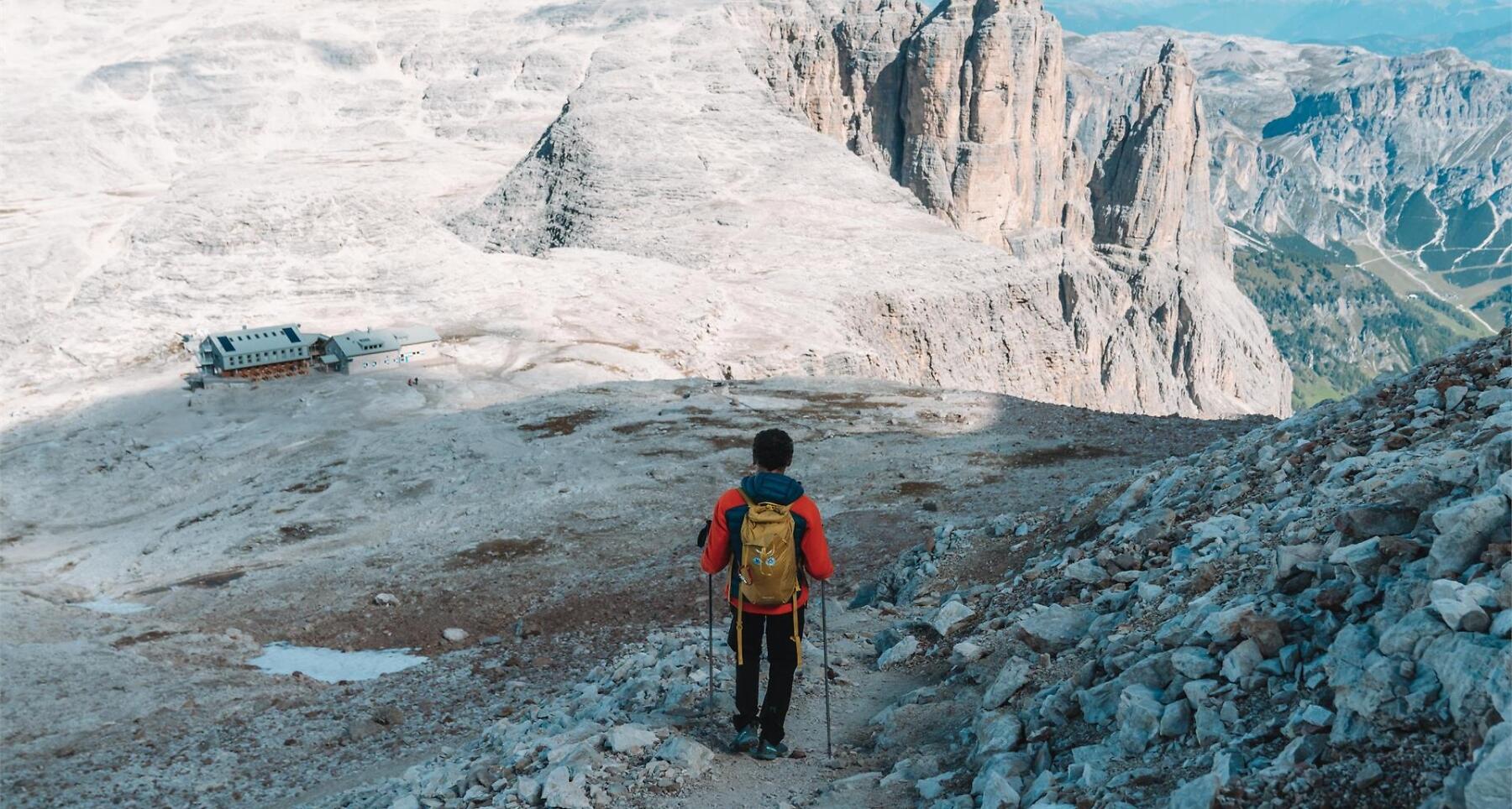

A demanding hike from Corvara to Piz Boé, the highest peak in the Sella massif.
Piz Boé, in the Sella Group, stands at 3,152 metres and is one of the most accessible peaks over 3,000 metres, making it a popular destination for hikers. However, it's important to note that the ascent from Corvara and the descent are both demanding. While climbing equipment isn't required, sure-footedness and mountain experience are essential for tackling this hike. The route primarily traverses rocky terrain, with sections of scree and an equipped trail.
As you ascend, the landscape changes, offering breathtaking views of some of the most iconic Dolomite peaks, including Marmolada, Civetta, Catinaccio, and Sassolungo. At the summit, you'll find the small Capanna Piz Fassa mountain hut, where you can spend the night. However, the true reward is the stunning panorama that only an altitude of over 3,000 metres can provide. The descent involves crossing part of the massif.
Roadbook
From Corvara, head up to the top station of the Vallon chairlift (on foot or first by the Boé cable car, then by the Vallon chairlift) and from there make your way to the Franz Kostner mountain hut, passing it until you reach a fork in the path. Here, take path no.672 on the right, which leads into the wide gully to the right of the scree slope, right up to the base of the rock faces. Climnbing along the secured path through the rocks, you'll reach a vast, scree-filled basin. After passing through it, continue along the left-hand side of the gully before emerging from the gorge onto a narrow ledge. Continue south-west along a path which is initially flat and then ascends, leading you, via a steep scree slope, to the Cresta Strënta. Following the ridge, you will finally reach Piz Boé, where you will be left speechless by the spectacular view.
For the return journey, descend along the path no.638 in a north-westerly direction towards the Boé / Bambergerhütte mountain hut through a steep, gravelly gully and across rocky scree, often covered in ice and snow. Once you reach the hut, head north on the path no.666, which crosses the entire Mesules plateau, before descending along a gully with rock steps to the Pisciadú mountain hut.
From the Pisciadú mountain hut, head down along path no.676 westwards towards the Val de Mesdí. The descent is initially flat, but after the first 500m becomes steeper and rockier. The most challenging section is equipped with a fixed rope to aid the descent into the scree-filled valley. Once you enter the Val de Mesdí, continue left along the path no.676. At the junction with paths no.28 and no.651, carry on straight ahead along path no.651 towards Colfosco and the SS243. At the junction with path no.650, near the valley station of the Plans-Frara lift, turn right to head towards the village of Colfosco.
Alternatively, and only in good weather, you can take a more challenging descent. On path no.666, continue down Val Setus, intially along a path secured with steel cables, then winding your way down a scree slope. At the junction, carry on straight ahead northwards towards the Pisciadú car park on the SS243. Once you reach the road, carry on straight for a further 100 metres to the bus stop on your right, from where you can return towards Colfosco and Corvara by public transport.
In the event of bad weather, this route is not recommended.
Public transport
Getting to the starting point of the tour or point of interest by public transport is easy and convenient.
How to get there
Follow the SS244 Val Badia road towards Corvara.
Coordinates
- DD 46.522398, 11.849423
- DMS 46°31'20.6"N 11°50'57.9"E
- UTM 32T 718547 5156037
- w3w ///rake.recitals.fattier