


Borest trail to the Pisciadú waterfalls


Easy walk through sunny meadows and woods from Corvara to Pisciadú Waterfall in Colfosco – perfect for families.
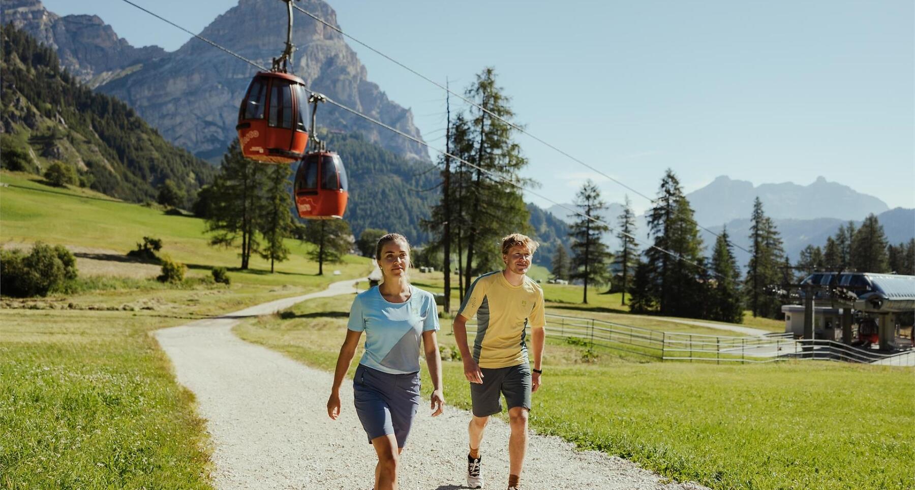
This easy walk from Corvara to Colfosco leads through sunny meadows and thin woodland taking you over bridges and babbling streams to the foot of the mighty Sella massif, where the Pisciadú waterfall tumbles down over the rocks. The easy walk is also ideal for families with children.
Roadbook
From the car park at the Boé cable car follow the Borest trail direction campsite. Follow the eponymous route which gently climbs to the river Pisciadú, after the campsite. After entering Val de Misdé, take the marked path no. 28 until you reach an enchanting meadow area at the very foot of the Grup dl Sela (boulders, larches, benches, streams, shelters). Walking on the path, climb up a little way towards the Sella walls, and you will come to the Pisciadú waterfall (1730 m).
Back now to the junction by the enclosure. Here you can either walk back on the same trail or, on a slightly uphill path, bearing left, you will pass close to the Rönn farm but keep following signs for "Cascades", until you come to the indicated bus stop at Hotel Luianta in Colfosco and head back to Corvara.
Public transport
Getting to the starting point of the tour or point of interest by public transport is easy and convenient.
How to get there
Follow the SS244 Val Badia road towards Corvara.
Coordinates
- DD 46.549967, 11.870988
- DMS 46°32'59.9"N 11°52'15.6"E
- UTM 32T 720089 5159160
- w3w ///overtax.football.moods