


Ascent of Mt. Conturines


Challenging hike from San Cassiano to the highest peak of the Fanes group. Breathtaking views await passionate mountaineers!
Challenging hike in the Fanes group with start in San Cassiano. The Conturines peak is the highest peak of the Fanes group and offers a breathtaking view over the whole Val Badia valley.
The hike, perfect for keen mountaineers, requires safety, climbing skills and a good orientation skills.
Roadbook
The hike starts at Capanna Alpina and follows trail no. 11, initially flat before climbing up to Col de Locia. Next, it crosses vast areas of alpine pines before reaching the Gran Plan, or Plan de Ciaulunch, a large green plateau.
A short climb from the plateau's edge leads to the Tadega Pass. Here you follow the fork to the left toward Conturines. The ascent continues westward over a rocky step and through a cirque basin to the usually dry Lake Lech de Conturines. Another step of the valley leads into the innermost cirque of Büsc da Stlü and finally to the ridge. The deep view down to San Cassiano is fascinating.
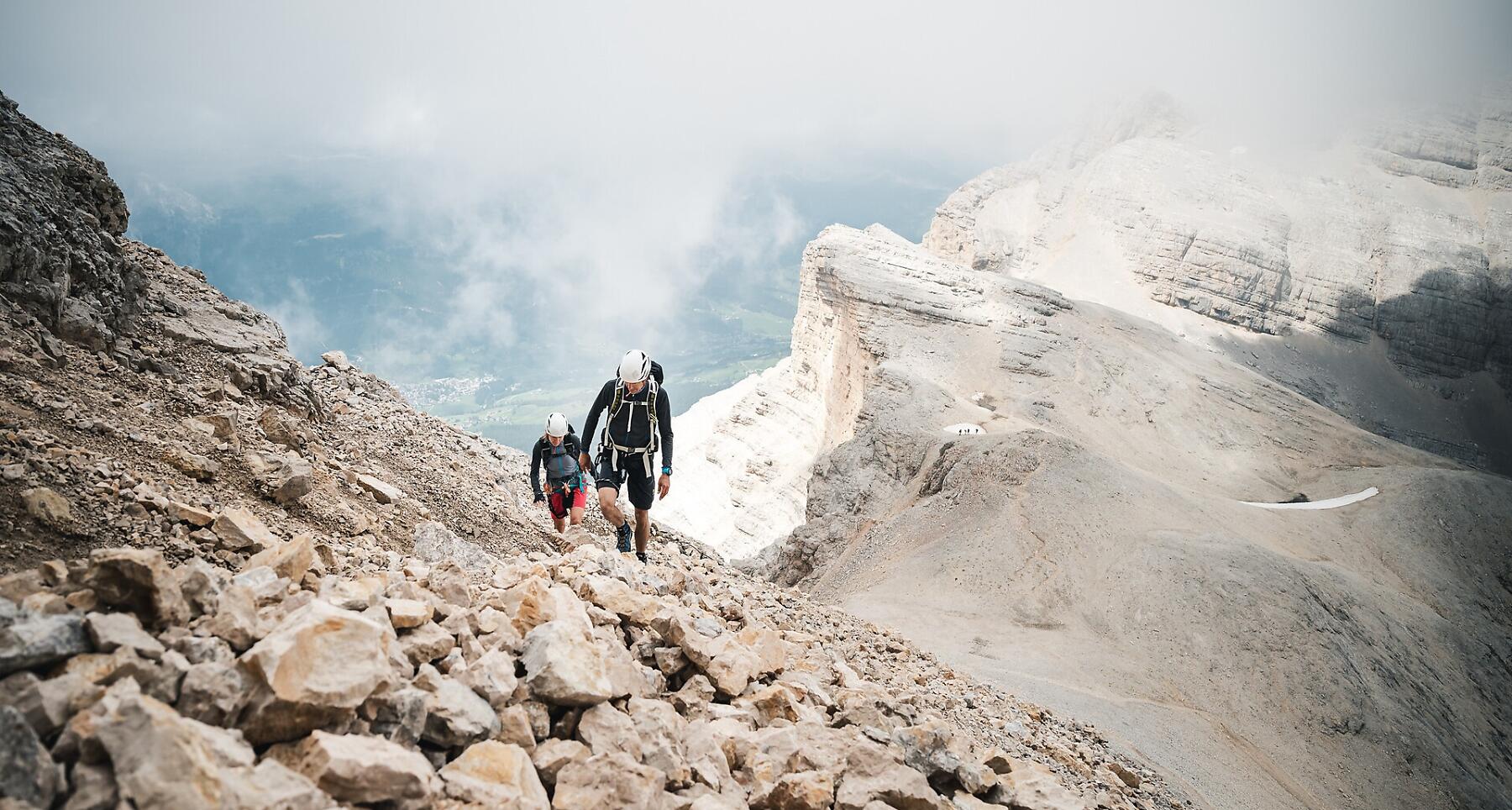
To reach the summit of Conturines peak, you go left from the saddle between Lavarela and Conturines. Steel cables will help you reach the manageable edge of the summit (climbing equipment is recommended).
How to get there
Follow the SS244 Val Badia road towards La Villa and continue on road SS37 to San Cassiano.
Coordinates
- DD 46.559965, 11.982729
- DMS 46°33'35.9"N 11°58'57.8"E
- UTM 32T 728613 5160589
- w3w ///submerge.concern.trembling