


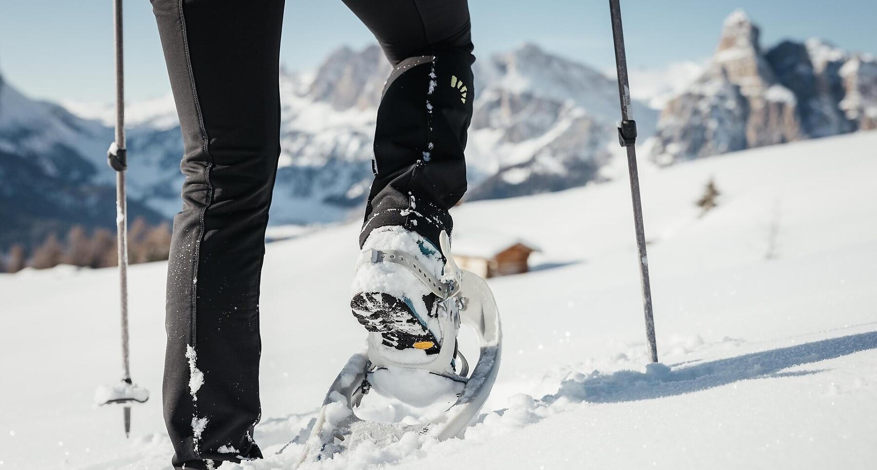
Snowshoe hike from Badia to the Santa Croce Sanctuary

Perfect for families: Hike beneath the Sas dla Crusc across the snow-covered Armentara meadows.
The perfect family-oriented hike starts in Badia and leads to the feet of the mighty faces of the Sasso di Santa Croce and through the snow-covered Armentara meadows.
Roadbook
The hike begins in Badia, where you can go up to La Crusc (2045 m) by La Crusc 1 chair lift and La Crusc 2 cable car or by foot (2 hours).
Head north above the little Sas dla Crusc Church on trail no. 15, continuing across alpine pastures passing the Stations of the Cross.
At the first fork bear left on to trail no. 15A, and follow the same markings when you reach the forest road. At the next junction turn left and follow the signs to "Badia – Roda de Armentara". A gravel road leads up to Ranch da André and Pre Comun, the final climb.
From the Armentara meadows, head to Valacia, from where you go down through Razuns to the Valgiarëi farm. The hike is very enjoyable and not long. When you reach the junction, turn left and follow the signs to Badia – Roda de Armentara. Go past the Cialaruns and Ruac farms, and after about 30 minutes you reach the starting point for your hike.
Public transport
Getting to the starting point of the tour or point of interest by public transport is easy and convenient.
How to get there
Follow the SS244 Val Badia road towards Badia.
Coordinates
- DD 46.614431, 11.938505
- DMS 46°36'52.0"N 11°56'18.6"E
- UTM 32T 724998 5166513
- w3w ///catalysis.handoff.breezes