


Sellaronda MTB Tour clockwise
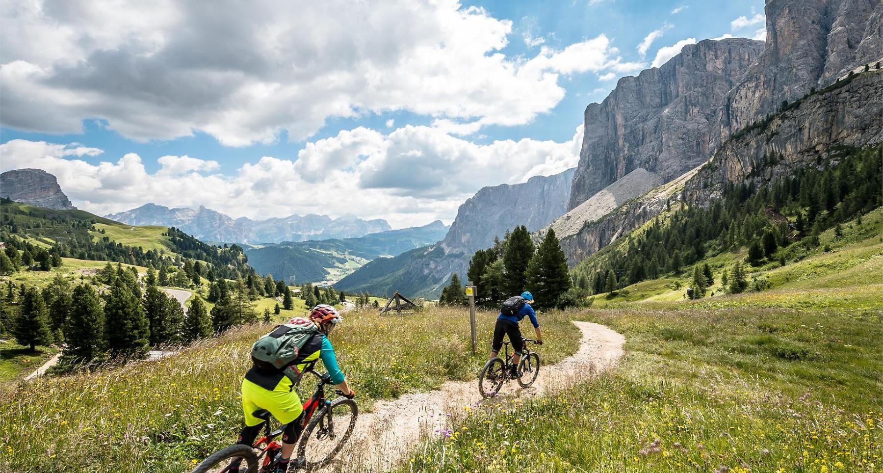


The Sellaronda MTB route is a mountain bike route around the Sella massif with unique panoramic views of the UNESCO World Heritage Dolomites.
Spectacular Dolomite peaks and legendary passes: The Sellaronda is one of the most beautiful and sought-after circular routes in the Alps and offers many fascinating options in both winter and summer. One of these is the Sellaronda MTB route. The tour requires good physical condition and mountain bike experience because there are climbs and some demanding descents to overcome. However, for several years now, it has been possible to complete the tour in one day thanks to the option of overcoming some particularly steep climbs using the lift systems.
The SELLARONDA MTB Track ROUTE clockwise involves relatively few meters of ascent due to the numerous lifts, which are also accessible with mountain bikes and e-bikes. The route consists of many beautiful trails ridden downhill that require intermediate riding skills. The duration of the tour largely depends on the riding skill level and takes between five and nine hours, including a one-hour lunch break.
Roadbook
From Corvara, the Col Alto and Braia Fraida lifts lead over a high-altitude path to the Campolongo Pass. From here, you take the chairlift up and then ride a thrilling enduro trail down to Arabba, to the Porta Vescovo cable car. At the mountain station, you have a breathtaking view of the Marmolada glacier and the Fedaia reservoir. The following descent to the Fodom cableway above Arabba is particularly challenging and runs partly on a steep gravel road and partly on a trail. From Pordoi Pass, the route goes via a beautiful trail to Canazei, then along the village streets towards Campitello and the Col Rodella cable car. From Col Rodella, you ride downhill to Sellajoch and continue through the Stone City. From the Stone City, two consecutive flow trails lead to Plan de Gralba. From Plan de Gralba, a path leads to Wolkenstein. From Wolkenstein, you take the cable car up to Dantercepies. Just below the mountain station begins the first descent: a flowing single trail leads to Gröden Pass, from where another trail continues to Colfosco. The route then leads back to Corvara.
www.sellaronda-mtb.com
How to get there
Follow the SS244 Gadertal road towards Corvara.
Coordinates
- DD 46.555652, 11.768024
- DMS 46°33'20.3"N 11°46'04.9"E
- UTM 32T 712174 5159509
- w3w ///twinge.lodged.vocalists