


Bike Beats - Avëna Trail


A technical, medium-difficulty trail in San Cassiano with flowing turns and 283 m of descent – ideal for skilled mountain bikers.
The Ödli and Cör trails join at 1700 m of altitude to form the last section of the trail, the Avëna blue trail. Like a vein flowing through the last stretch of the forest until it reaches the valley, the blue trail includes an endless series of very exciting and difficult bends where expert bikers can show their skills.
This medium-difficult trail extends for a little more than 2 km and it is the section in the park with the highest altitude difference, 283 m.
Roadbook
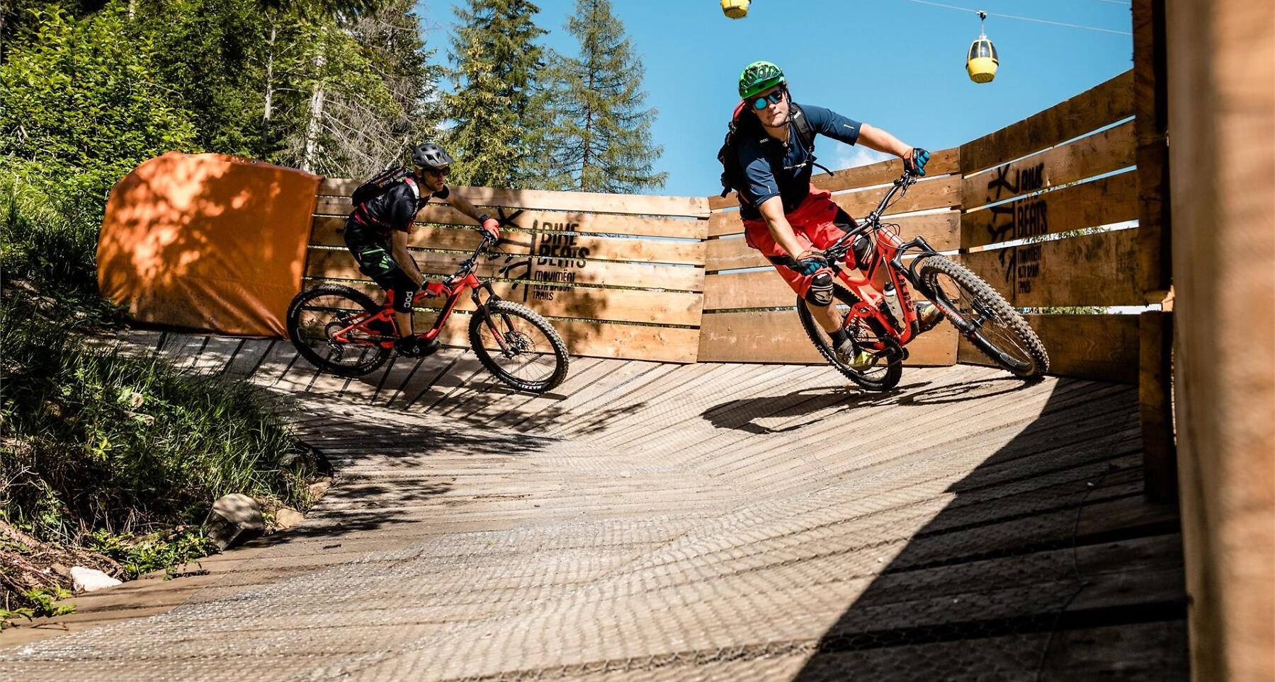
After a first part with very narrow and difficult bends, the trail reaches one the most beautiful sections of the Bike Beats - Movimënt. First, the “Ciastel de lëgn”, a raised bend made of wood and built at 5 m of height around a tree to look like a castle. Then you will reach the Panoramic Point, very close to the Dolomites, which offers a unique and beautiful panorama and after that, “Lavarella Wallride”, a banked corner half wood and half soil, one of the most interesting features of the park trails. The last section of the descent ends going through the “Avënes dl Bosch” to reach the start point of the Piz Sorega cable car.
How to get there
Follow the SS244 Val Badia road towards Corvara.
Coordinates
- DD 46.562183, 11.930401
- DMS 46°33'43.9"N 11°55'49.4"E
- UTM 32T 724593 5160685
- w3w ///skews.botany.solvers