


From San Cassiano/Sciaré across the Forcela dl Lech notch to the Lech de Lagació lake and the Ütia Scotoni hut
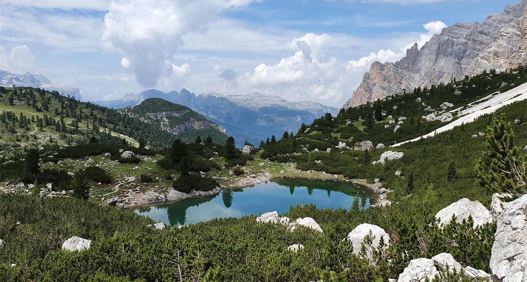

Scenic mountain hike from San Cassiano to Forcela dl Lech with views of Fanes, Conturines, Cima Scotoni and the turquoise Lech de Lagació.
Varied mountain hike in the Nature Park Fanes-Senes-Braies starting from San Cassiano. Admire the stunning views from the Forcela dl Lech notch, looking north over the entire Fanes mountain range. Turn your gaze westwards to the imposing Conturines peak. East lie the rock faces of the Fanis group and to the south the Lagazuoi plateau and the homonymous lake.
Roadbook
From the parking area Sciaré, take trail no. 11 heading east, passing the restaurant Capanna Alpina till a fork. From here, always on track no. 11, climb to the panoramic point Col de Locia (2069 m) (1h 35min.). Continuing on the same trail through the great swathes of alpine pines, you will get to the Plan de Ciaulunch, a large verdant plateau. At the beginning of this you find a junction, where on the right on trail no. 20B, you reach the Forcela dl Lech notch (2475 m), the highest point of your itinerary (3h 40min.). The descent is on a steep but well maintained path, to the Lech de Lagació lake. Continue on trail no. 20 through a steep gorge, which brings you firstly to the Ütia Scotoni hut (20min.), then along the ski slope Armentarola by the restaurant Capanna Alpina back to the starting point Sciaré (1h 10min.).
Public transport
Getting to the starting point of the tour or point of interest by public transport is easy and convenient.
How to get there
Follow the SS244 Val Badia road towards La Villa and continue on road SS37 to San Cassiano.
Coordinates
- DD 46.553416, 11.968208
- DMS 46°33'12.3"N 11°58'05.5"E
- UTM 32T 727527 5159819
- w3w ///commentator.risking.situated