


From Passo Valparola to Pralongiá and down to San Cassiano
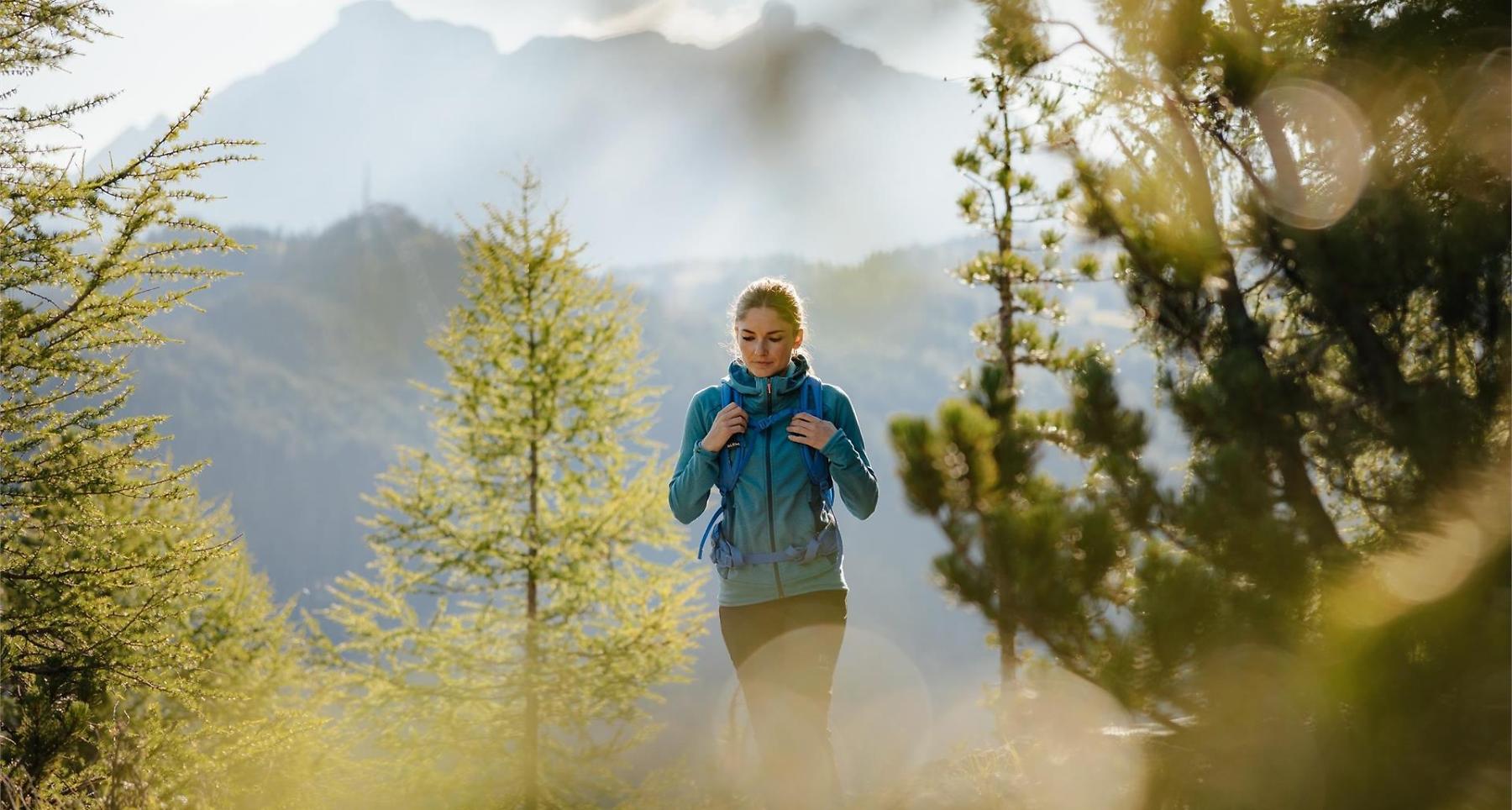

Varied high-altitude hike over flowered meadows with panoramic views of Lavarela, Conturines, and the Alpine glaciers.
An altidude hike from Passo Valparola to San Cassiano under the Setsas peak and to the Pralongiá plateau. Admire impressive views over the entire Alta Badia mountains with a close-up of the Lagazuoi top and the majestic peaks of Lavarela and Conturines. If you wish to extend your itinerary, you can even ascend the Setsas mountain.
Roadbook
From Passo Valparola take trail no. 24, which on the west leads to Pralongiá. The narrow trail descends to a junction. At this point, trail no. 24 on the right, moves on ups and downs to the north side of the Setsas peak. From the hollow, climb steeply to the next junction, from where you reach the summit of the Setsas (2158 m). Proceeding on trail no. 24 you arrive at the ridge Les Pizades to then descend to the Störes meadows direction Pralongiá. At the fork, continue on path no. 23 that brings you to the alpine guesthouse Pralongiá (2 h 30 min.). Proceed northwards, following trail no. 23 to San Cassiano until reaching the next junction. From here, take path no. 22 through the meadows to the Ütia Saraghes hut (1 h). Still on trail no. 22, which slopes slightly downwards, walk through woods and pastures to the village of San Cassiano.
Public transport
Getting to the starting point of the tour or point of interest by public transport is easy and convenient.
How to get there
Follow the SS244 Val Badia road towards La Villa and continue on road SS37 to San Cassiano.
Coordinates
- DD 46.531807, 11.988794
- DMS 46°31'54.5"N 11°59'19.7"E
- UTM 32T 729196 5157478
- w3w ///riddling.amass.devoted