


From Colfosco to the Sassongher and Gherdenacia, ending in La Villa
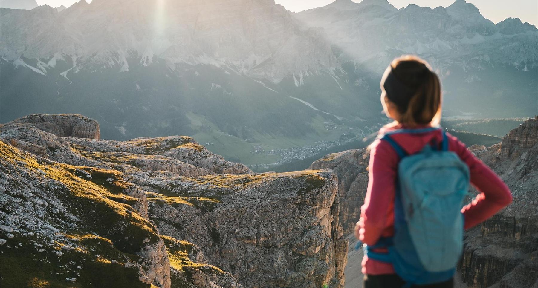
Panoramic summit with sweeping views of the Sella Group, main Alpine ridge, and the valleys of Colfosco and Corvara.
Sassongher, Corvara's emblem, towers above the town and the neighbouring Colfosco, sheer and unapprochable. From its summit, enjoy an exciting view in the round.
Roadbook
From the church in Colfosco, set off west through the Val Edelweiss valley on trail no. 4, going by the refuge and the tiny votive chapel until you reach a junction (or with the Col Pradat lift from Colfosco to the hill of the same name). Here, take trail no. 7 to Sassongher, going up over debris and rocky spurs to the Forcela Sassongher fork. From the pass, climb to the right once again, crossing a steep scree slope and some rocks with metal ropes, to arrive at the summit (3h 10min.). Come back down to the pass the same way. Leaving the Forcela Sassongher, descend northwards, to begin with on trail no. 7, but then on trail no. 5. This particular trail goes along an overhang below the sides of Para da Giai, ultimately arriving at the Gardenacia hut. Down to La Villa from the refuge, following trail no. 5, now going north-east. Cross several rocky overhangs then head downwards, over vast scree slopes until you are overlooking the Sponata hut at the chairlift station, which will take you to La Villa.
Public transport
Getting to the starting point of the tour or point of interest by public transport is easy and convenient.
How to get there
Follow the SS244 Val Badia road towards Corvara.
Coordinates
- DD 46.553514, 11.850862
- DMS 46°33'12.7"N 11°51'03.1"E
- UTM 32T 718532 5159498
- w3w ///pouted.botch.smoggy