


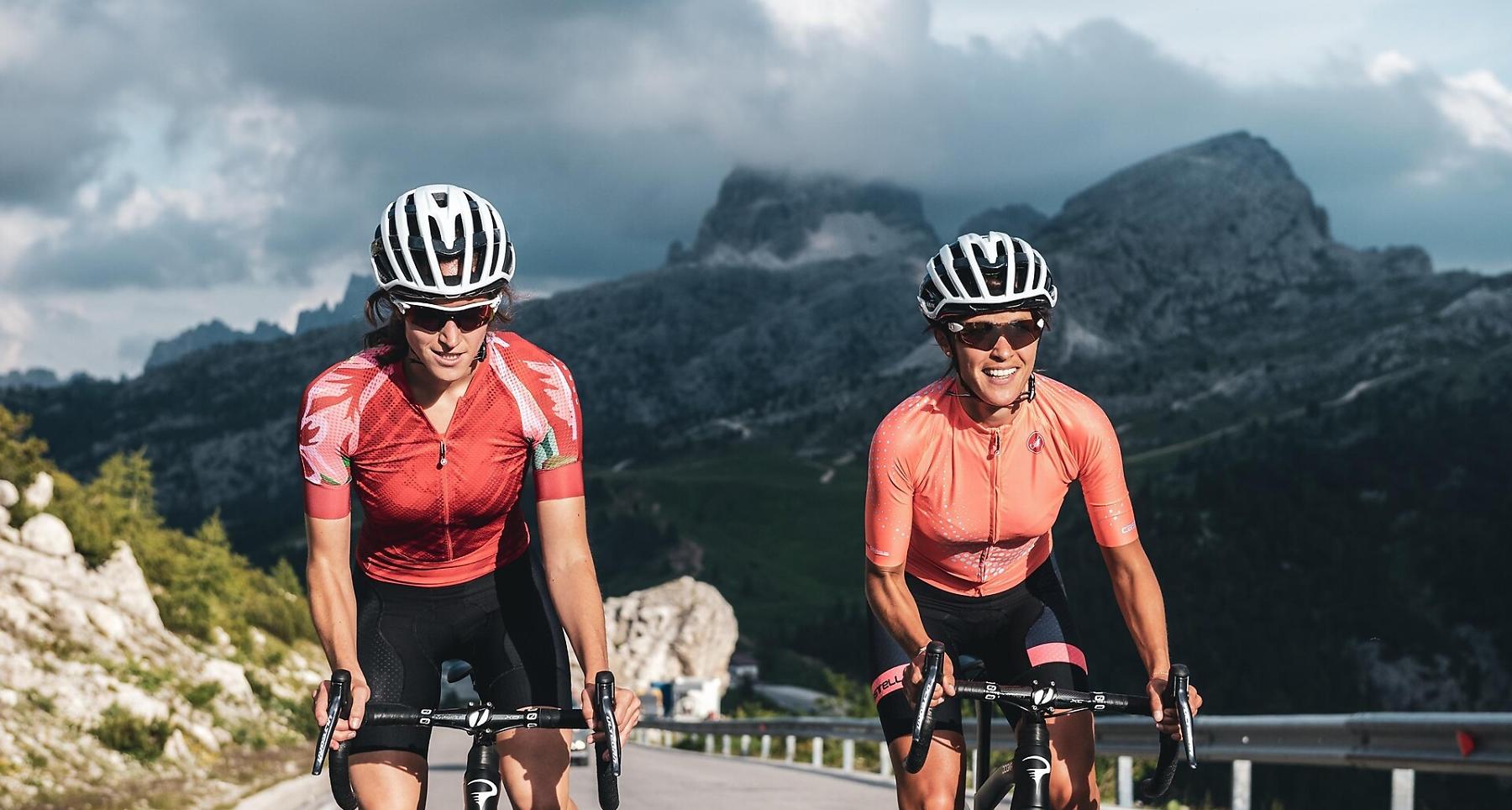
Road bike tour to the legendary Giau pass
This iconic road cycling loop starts from San Cassiano, La Villa or Corvara, and heads towards the climb up the legendary Passo Giau.
The Giau pass is the great challenge for all those who undertake the marathon Maratona dles Dolomites, 10 km with long sections at 10.5% slope with the last kilometre at 10.2% slope. A climb that will remain among the cyclists’ memories.
Roadbook
Start in Corvara and descend via Passo Campolongo to Arabba.
From Arabba continue towards Colle Santa Lucia, where the climb to Passo Giau begins.
From the pass, descend towards Cortina d’Ampezzo.
Continue towards Passo Falzarego and Passo Valparola.
After crossing the passes, return to Alta Badia and Corvara.
How to get there
Starting points: Corvara, La Villa or San Cassiano.
The villages are connected via the SS244 (Val Badia) and the SP37 to San Cassiano.
Coordinates
- DD 46.549134, 11.870925
- DMS 46°32'56.9"N 11°52'15.3"E
- UTM 32T 720088 5159067
- w3w ///cheerful.barring.steam