


Winter hike from Spëscia to the Santa Croce Sanctuary


A relaxing winter walk between La Val and Badia. Enjoing the fresh mountain air and the stunning views of the Dolomites.
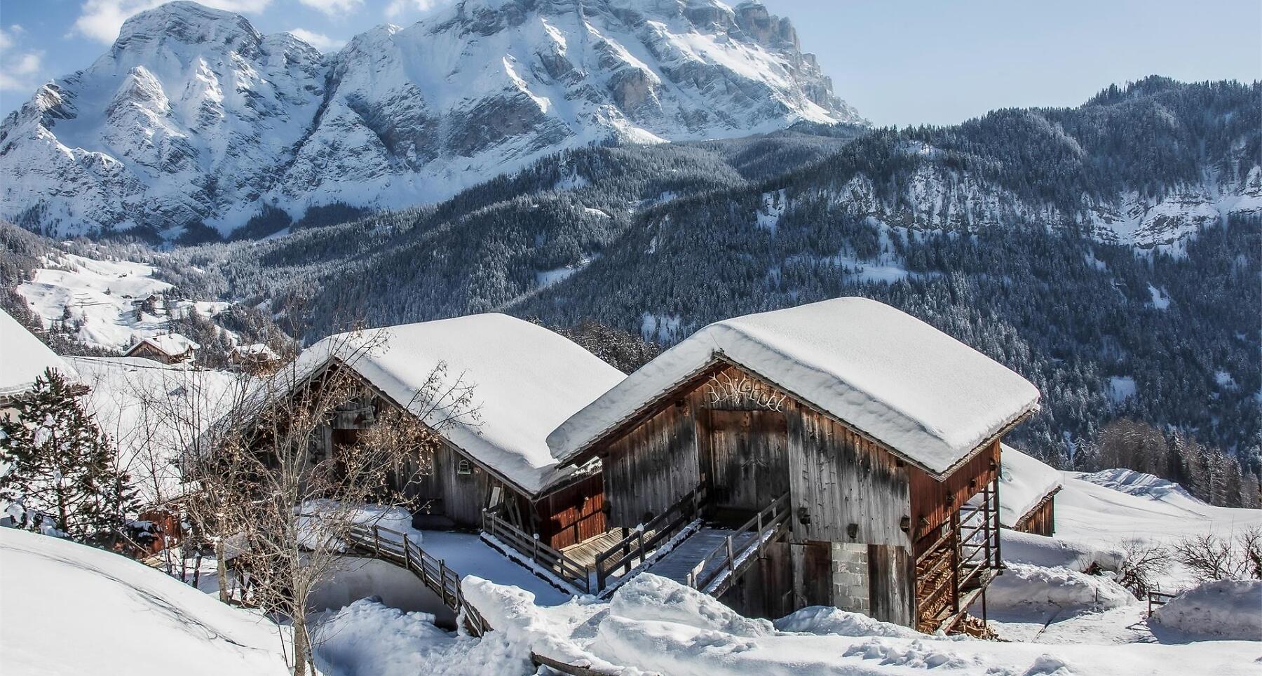
This relaxing winter hike starts at the parking place of Spëscia. During this hike you can enjoy the fresh air of the forest up to the Hospice Santa Croce, from where you can enjoy a breathtaking view of the peaks of the Dolomites.
Roadbook
From the car park in Spëscia, follow path no. 15A, which meanders through the forest and along the meadows at the foot of Sas dla Crusc, leading you to the homonymous hut. At the hut, we recommend a brief stop to refresh yourself, visit the small church of Santa Croce, and admire the surrounding panorama.
The return journey follows the same route as the outward path.
Public transport
Getting to the starting point of the tour or point of interest by public transport is easy and convenient.
How to get there
Follow the SS244 Val Badia road towards Pederoa and continue on road SP60 to La Val.
Coordinates
- DD 46.647037, 11.954889
- DMS 46°38'49.3"N 11°57'17.6"E
- UTM 32T 726116 5170183
- w3w ///mailman.mooing.divers