






Winter hike from La Val to the Santa Barbara church
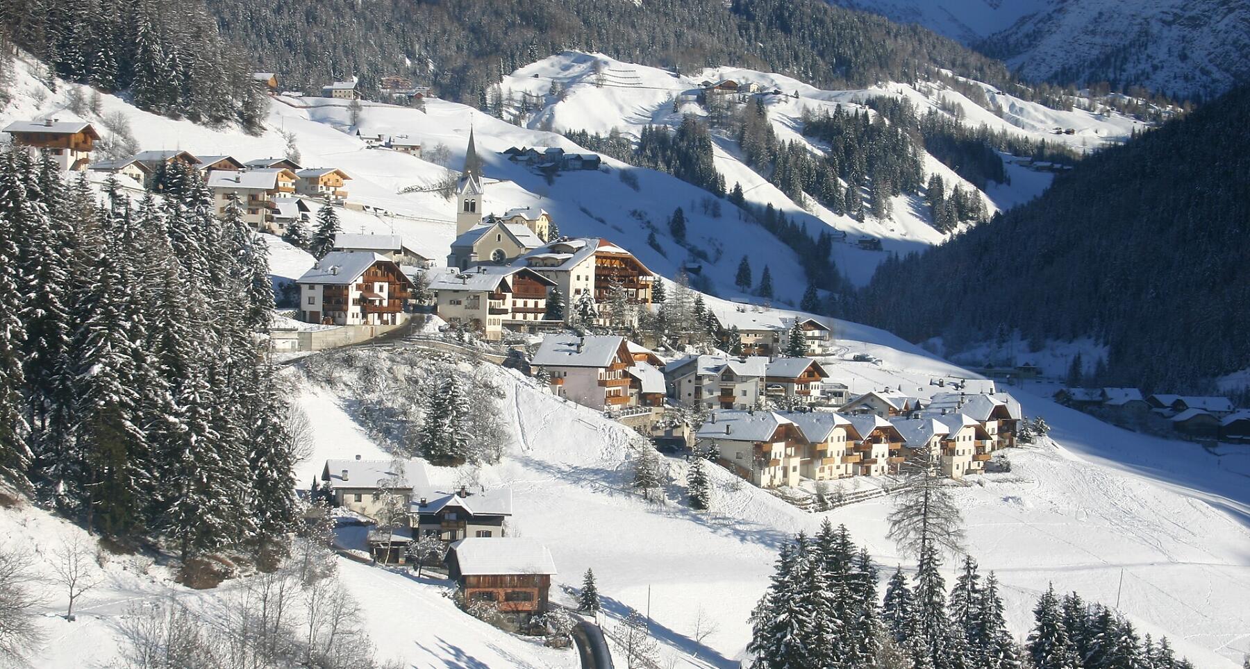


The small St. Barbara’s Church holds an exciting treasure legend above La Val.
The little church of Santa Barbara, dating back to the 15th century, on the hills above the village of La Val, a very panoramic location.
The inhabitants of this place still have very vivid memories of the history of the Lords of Rü: some centuries ago they buried money and precious jewellery near the church.
Roadbook
Starting from the church of San Genesio in the center of La Val, head towards Cians, turning left and passing the fire station. At the first hairpin bend, the "Memento Vivere" route begins. After a short stretch on an asphalt road, it continues on a dirt track, crossing the Bosch da Crosta larch wood, and finishes at the magnificent little church of Santa Barbara.
Public transport
Getting to the starting point of the tour or point of interest by public transport is easy and convenient.
How to get there
Follow the SS244 Val Badia road towards Pederoa and continue on road SP60 to La Val.
Coordinates
- DD 46.657495, 11.924415
- DMS 46°39'27.0"N 11°55'27.9"E
- UTM 32T 723741 5171258
- w3w ///truancy.broadened.freebies