






Winter hike from Furnacia to Santa Croce Sanctuary
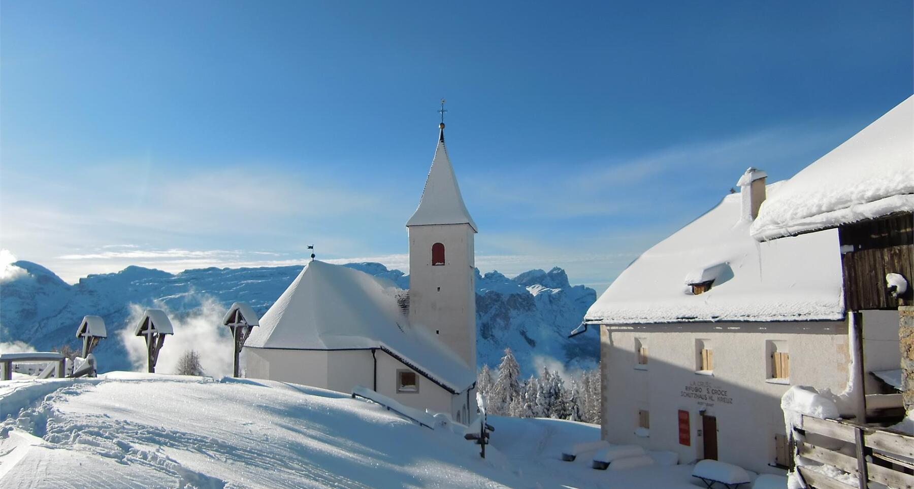

The route begins in the hamlet of Furnacia in La Val and continues across the Armentara meadows, ending at the Santa Croce Sanctuary in Badia.
The relaxing winter hike follows the "Roda de Armentara" signs throughout the whole itinerary. During the excursion you will be able to breathe the fresh mountain air and enjoy the enchanting snowy landscape with a view on the peaks of the Dolomites.
Roadbook
From the car park of Furnacia, above the village of La Val, climb up to the Ranch da André hut (1863 m) on path no. 15A. Continuing on the same path which passes through the forest and along the meadows at the foot of the Sas dla Crusc mountain, you will reach the homonymous hut, arrival point and highest point of the hike. At the hut we recommend a short stop to refresh yourself and to visit the small church of La Crusc while admiring the surrounding panorama.
The return journey is along the same route as the outward one.
Public transport
Getting to the starting point of the tour or point of interest by public transport is easy and convenient.
How to get there
Follow the SS244 Val Badia road towards Pederoa and continue on road SP60 to La Val.
Coordinates
- DD 46.641951, 11.923016
- DMS 46°38'31.0"N 11°55'22.9"E
- UTM 32T 723698 5169527
- w3w ///deprivation.chronicled.moderately