






Tru di tiers - on the trail of the wild animals
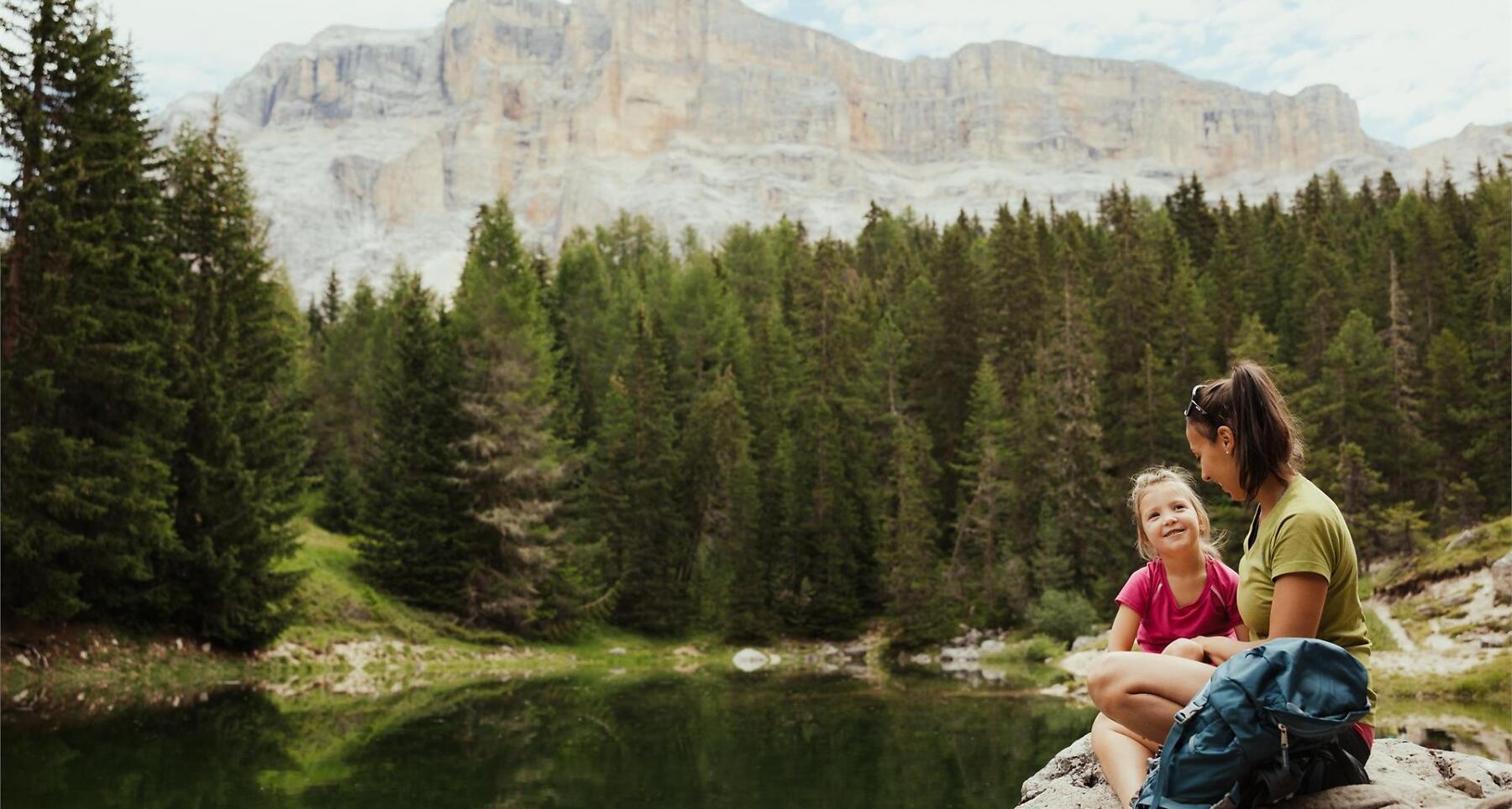


Family treasure hunt with animals, stamps, and a prize at emerald Lech Dlá Lé lake in Badia.
On the Tracks of Wild Animals
Let the (treasure) hunt begin! A family-friendly trail where you’ll encounter many charming mountain animals, ready to share stories about their lives and habitats. At the end of the path, more surprises await you… or maybe even two: the emerald-green Lech Dlá Lé lake and a well-deserved reward for the young explorers who successfully complete the treasure hunt and collect all the stamps!
How does it work? After picking up the maps at Rifugio Lé hut, you can set off on the animal tracks – matching the stamps to each station – and, following the clues, collect the balls that lead to the treasure. Once both trails are completed, the young explorers can claim their well-earned prize at the starting hut.
Roadbook
Follow the SS244 Val Badia road towards Badia.
Public transport
Getting to the starting point of the tour or point of interest by public transport is easy and convenient.
Coordinates
- DD 46.612148, 11.923642
- DMS 46°36'43.7"N 11°55'25.1"E
- UTM 32T 723869 5166217
- w3w ///dangling.signifying.outcries