






To the Pasciantadú pastures passing near the Lech Dlá Lé lake
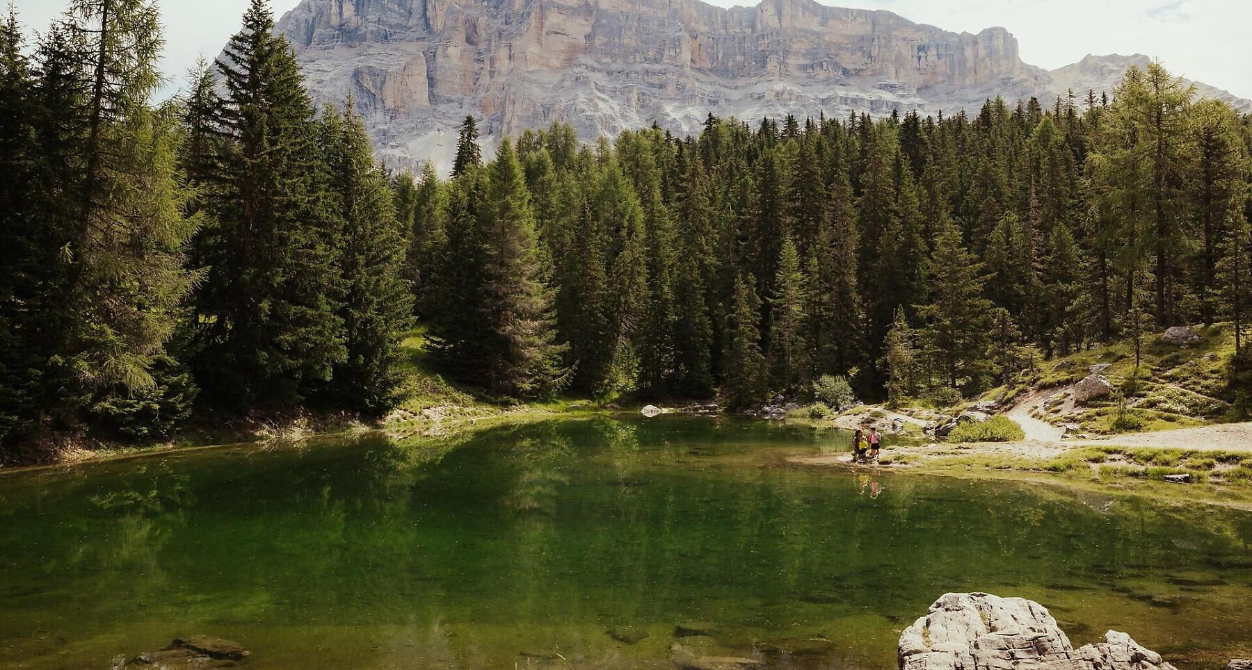

Easy hike in Badia with lake, hut, and stunning views of Sas dla Crusc, Grup dl Sela, and Sassongher.
A lovely hike in Badia through a varied landscape of woods, meadows and pasture land. On the way, you pass an idyllic lake and Alpine pastures.
During the hike, you can enjoy magnificent views of the face of the Sas dla Crusc, the Sella massif and the Sassongher peak with the Gardenaccia plateau.
Roadbook
The hike begins in Badia, where you go up on the La Crusc 1 cable car.
From the top station of the cable car La Crusc 1, passing the Ütia Lé mountain hut, walk south on trail no. 7A through the forest to the romantic little Lech Dlá Lé lake (approx. 5 minutes). Continue through the shady wood to the junction with mountain trail no. 7B going towards La Crusc. Continue walking in the same direction as before to the next fork, where you turn right on trail no. 13 to reach the Malga Pasciantadú Alpine farm in about 15 minutes.
The trail continues through a larch forest and across meadows down to the Castalta farm, where you will come to the next fork. Keeping right, follow trail no. 13A towards Oies and continue back to your starting point in Badia.
Public transport
Getting to the starting point of the tour or point of interest by public transport is easy and convenient.
How to get there
Follow the SS244 Val Badia road towards Badia.
Coordinates
- DD 46.612486, 11.923749
- DMS 46°36'44.9"N 11°55'25.5"E
- UTM 32T 723876 5166255
- w3w ///wading.skinfold.watchtower