


To the Lech Dlá Lé lake

Short, family-friendly hike in Badia along the "Tru di tiers" wildlife trail with wooden sculptures and a peaceful lake. About 15 min walk.
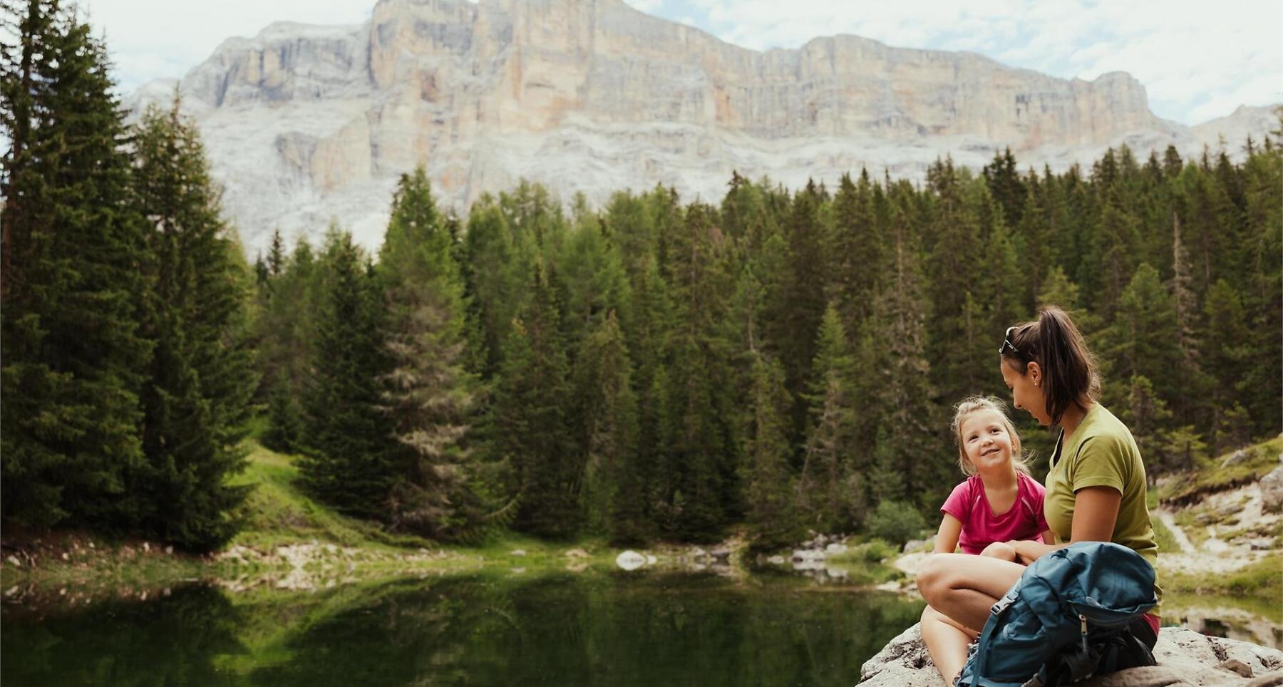
The pleasant and family-friendly hike in Badia, leads along the trail Tru di tiers following the traces of the wild animals.
Along the whole itinerary sculptures of wild animals are placed, for example: an eagle, an owl, or a bear. The sculptures were carved from larch and pine wood with a chainsaw by a local artist.
Roadbook
The nature trail starts at the Lé hut and leads through the woods for approx. 400 metres on flat trail to the small mountain lake Lech Dlá Lé.
Public transport
Getting to the starting point of the tour or point of interest by public transport is easy and convenient.
How to get there
Follow the SS244 Val Badia road towards Badia.
Coordinates
- DD 46.612606, 11.923776
- DMS 46°36'45.4"N 11°55'25.6"E
- UTM 32T 723878 5166268
- w3w ///thriller.kinds.sprites