






Skitouring Planac - La Marmotta
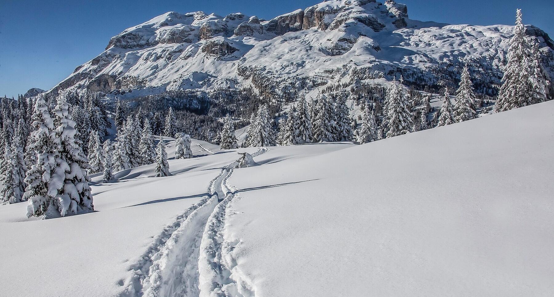


An easy ski mountaineering tour at the foot of the beautiful Pralongiá plateau.
An easy ski mountaineering tour on a groomed path, initially along a nice trail through the woods which then leads to a wonderful panoramic point: a stop is a must here to admire the charm of nature covered in a beautiful white mantle. Once you have reached your destination, from the refuge located at the foot of the splendid Pralongiá plateau, you can admire the Sassongher and the Sella Group.
Roadbook
From Corvara you can reach the car park of the Pralongiá chairlift in Planac, from where the enchanting path through the forest starts. Initially follow path no. 26 and then no. 3A to the La Marmotta hut (1920 m). The descent is along the ski slope until you reach the starting point.
How to get there
Follow the SS244 Val Badia road towards Corvara.
Coordinates
- DD 46.535975, 11.888903
- DMS 46°32'09.5"N 11°53'20.1"E
- UTM 32T 721519 5157655
- w3w ///evaporating.flail.excuse