






Skitouring Furnacia - La Crusc
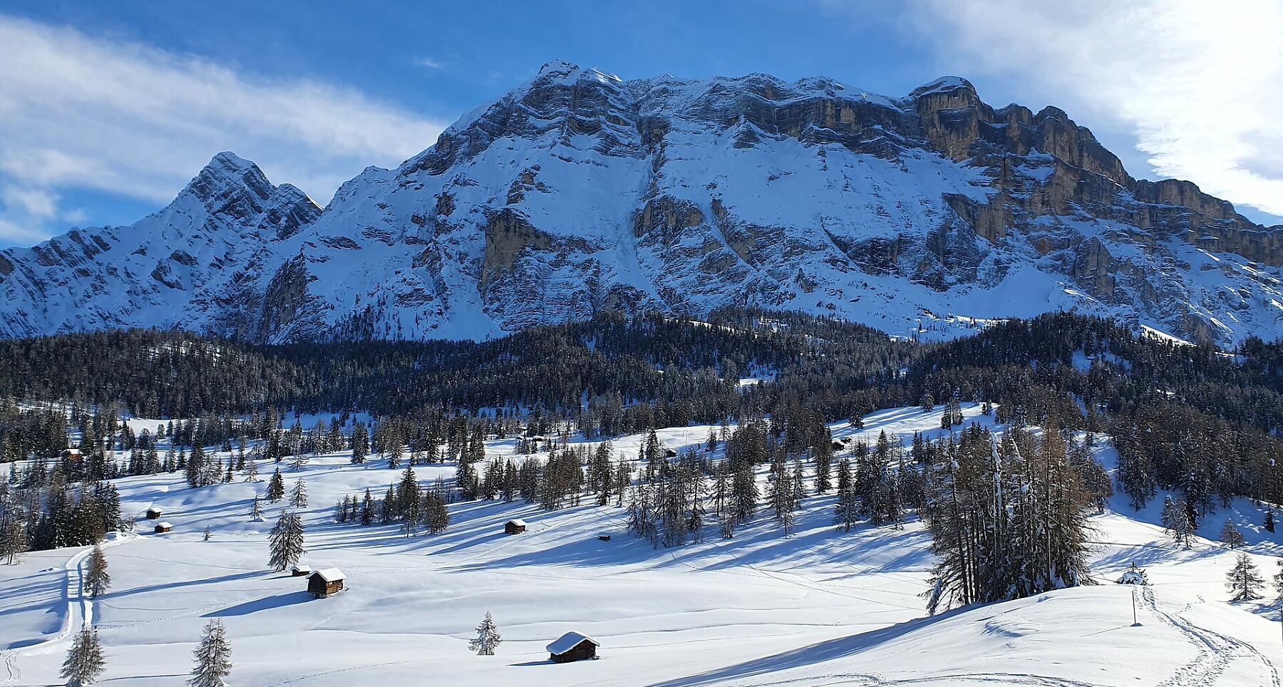


Easy ski mountaineering excursion through the beautiful Armentara meadows to the Santa Croce viewpoint.
An easy ski mountaineering excursion on a groomed path which, after an initial stretch of woodland, soon gives you a way to a magnificent landscape, with the Putia mountain and the Gherdenacia plateau being the first ones to be seen during the ascent. A little higher up, the white enchantment of the Armentara meadows awaits you, one of the wonders of Alta Badia, with the imposing Sas dla Crusc peeping out. On the final ascent, the spectacular landscape also includes the majestic Sassongher and the Sella Group.
Roadbook
From La Val, starting from the car park after the locality of Furnacia, you can quickly reach the wide Armentara meadows plateau. Continuing on path no. 15A you climb gently up to the foot of the majestic mountain Sas dla Crusc and to the sanctuary Santa Croce. The descent is possible along the ski slope to the village of Badia.
Public transport
Getting to the starting point of the tour or point of interest by public transport is easy and convenient.
How to get there
Follow the SS244 Val Badia road towards Pederoa and continue on road SP60 to La Val.
Coordinates
- DD 46.641855, 11.922313
- DMS 46°38'30.7"N 11°55'20.3"E
- UTM 32T 723645 5169514
- w3w ///aviation.contentious.creditor