


Single Trail Frara

Easy to moderately difficult MTB-trail connecting Colfosco with Passo Gardena.
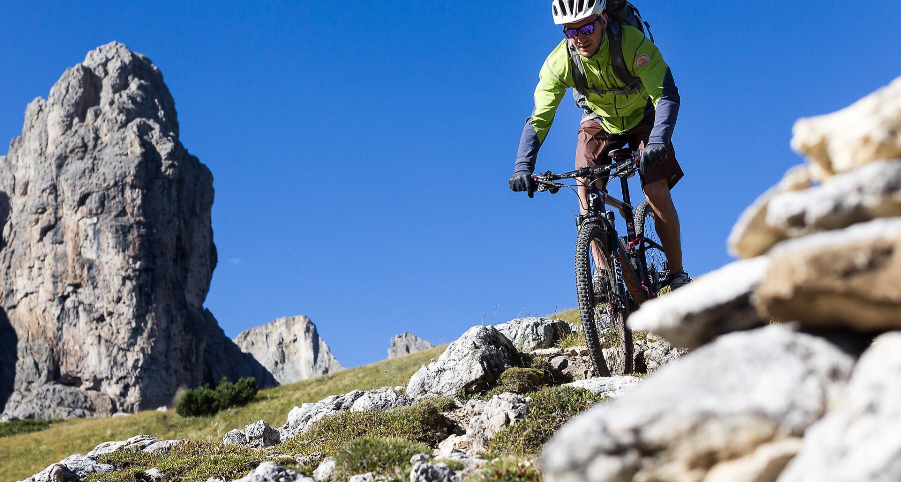
The Alta Badia valley, the green valley at the heart of the Dolomites and a UNESCO World Heritage Site, has been a popular destination for leisure cyclists for years. At first it was racing bike enthusiasts who loved the mountain passes, but nowadays the Dolomites region in South Tyrol is also a magnet for mountain bikers.
Roadbook
Freeride bikers love riding the Frara single track. The trail begins on the Gardena Pass and goes down the ski slope as far as Colfosco and the valley station of the Plans-Frara gondola lift. You have to be able to handle jumps, bumps and bends over a distance of about 3 km with a difference in altitude of 470 m.
How to get there
Follow the SS244 Val Badia road towards Corvara and continue on road SS37 to Colfosco.
Coordinates
- DD 46.550228, 11.809444
- DMS 46°33'00.8"N 11°48'34.0"E
- UTM 32T 715370 5159019
- w3w ///product.jammers.getting