


Roda de Fodom road bike tour


A loop route starting from Colfosco or Corvara, crossing some of the most scenic roads in South Tyrol and Veneto, reaching San Cassiano and La Villa along the way.
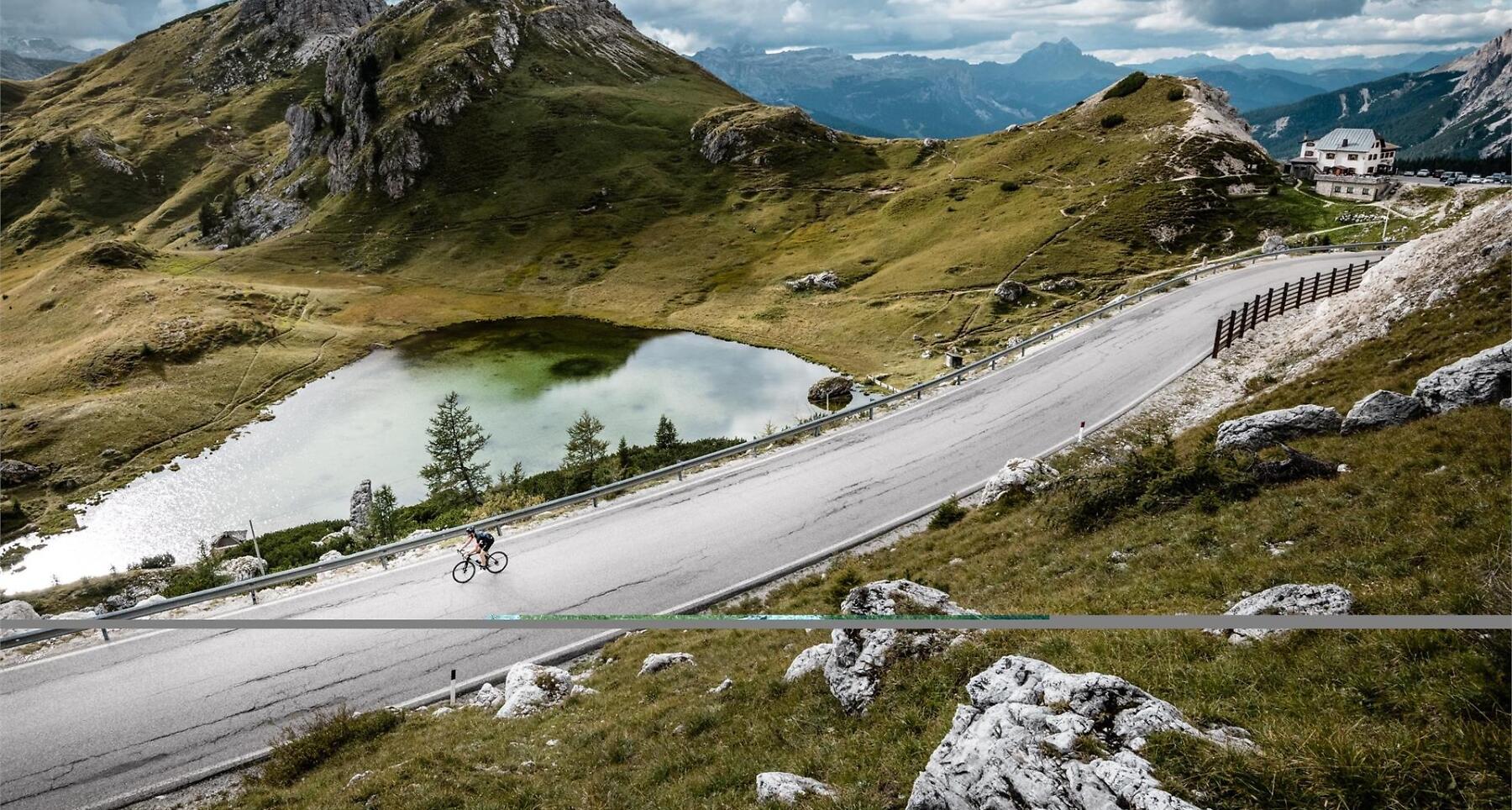
The Dolomites Bike Day Route is a panoramic circuit of about 50 km that takes the cyclists on some of the epic stages of the "Giro d'Italia" and the Maratona dles Dolomites roadbike marathon. You will cyclie on legendary mountain passes in the heart of the Dolomites UNESCO World Heritage.
There are several routes that extend between South Tyrol and Veneto and that every cyclist can choose independently depending on ability and condition.
Once a year, usually in mid-June, the Campolongo, Falzarego and Valparola passes are closed to motorized traffic from 9 am to 3 pm. On this special day the roads connecting the Ladin valleys Val Badia, Livinallongo and Ampezzo are reserved exclusively for cyclists.
Roadbook
Starting from Alta Badia you cycle through Corvara and up to the Campolongo pass where you ride down to Arabba and Livinallongo. Here you climb the Falzarego pass and the Valparola pass - one of the most fascinating sceneries in the Alps - from where you reach again Alta Badia by cycling downwards to San Cassiano. From San Cassiano you ride to the starting point in Alta Badia.
How to get there
Starting points: San Cassiano, La Villa or Corvara.
The villages are connected via the SS244 (Val Badia) and the SP37 road to San Cassiano.
Coordinates
- DD 46.550414, 11.853878
- DMS 46°33'01.5"N 11°51'14.0"E
- UTM 32T 718776 5159162
- w3w ///caseworker.just.citadel