






Road bike tour to the Furcia Pass
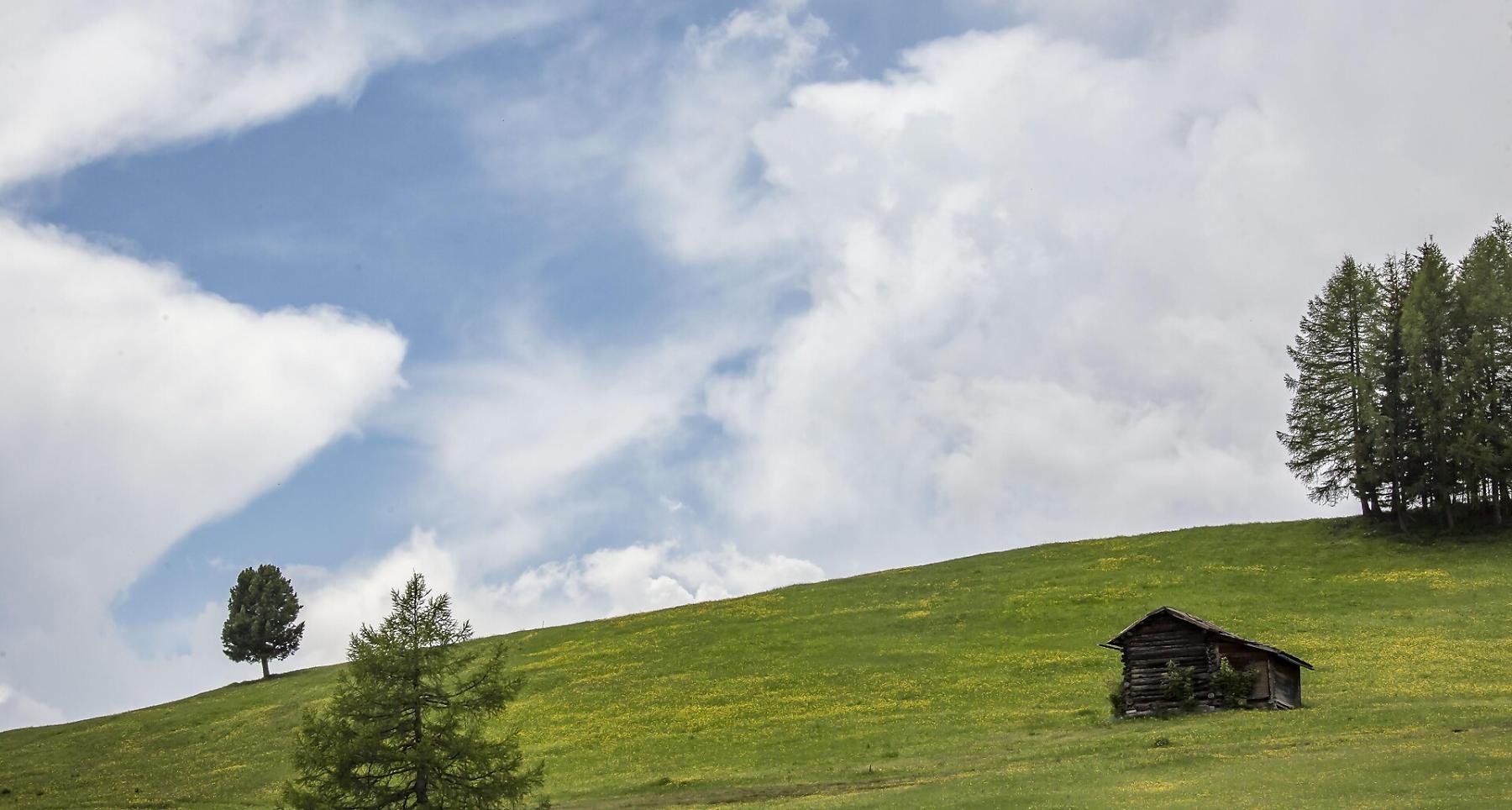
Starting from Badia or Pidrô/La Val, you ride through woods, meadows and alpine silence towards Passo Furcia.
The Passo Furcia loop is a scenic ride starting from Badia or Pederoa, connecting Alta Badia with Val Pusteria. It offers a varied cycling experience with challenging climbs and smoother sections.
The climb to the pass features gradients of up to 15%, rewarding the effort with spectacular views of the Dolomites.
The route passes through charming villages and follows roads that have been featured multiple times in the Giro d’Italia.
An ideal tour for well-trained cyclists looking for a physical challenge combined with outstanding scenery.
Roadbook
Start in Badia or Pederoa and follow the SS244 north towards Piccolino and Longega. Turn right and continue on a gentle uphill towards San Vigilio di Marebbe.
Continue almost flat towards Pieve di Marebbe. Shortly before the village center, turn right following the signs to Passo Furcia.
The climb starts moderately and becomes progressively steeper, with gradients reaching up to 15%. The road includes several tight and steep switchbacks.
At the top (1,758 m), descend along a scenic winding road to Valdaora. Continue with rolling terrain towards Riscone and Santo Stefano above San Lorenzo di Sebato.
From there, climb gently to Pliscia, then descend again towards Longega and return to Badia or Pederoa via the SS244.
How to get there
Follow the SS244 Val Badia road towards Pederoa and continue on road SP60 to La Val.
Coordinates
- DD 46.609720, 11.893970
- DMS 46°36'35.0"N 11°53'38.3"E
- UTM 32T 721607 5165863
- w3w ///gruel.afflicted.during