






Road bike tour along the Val Badia valley
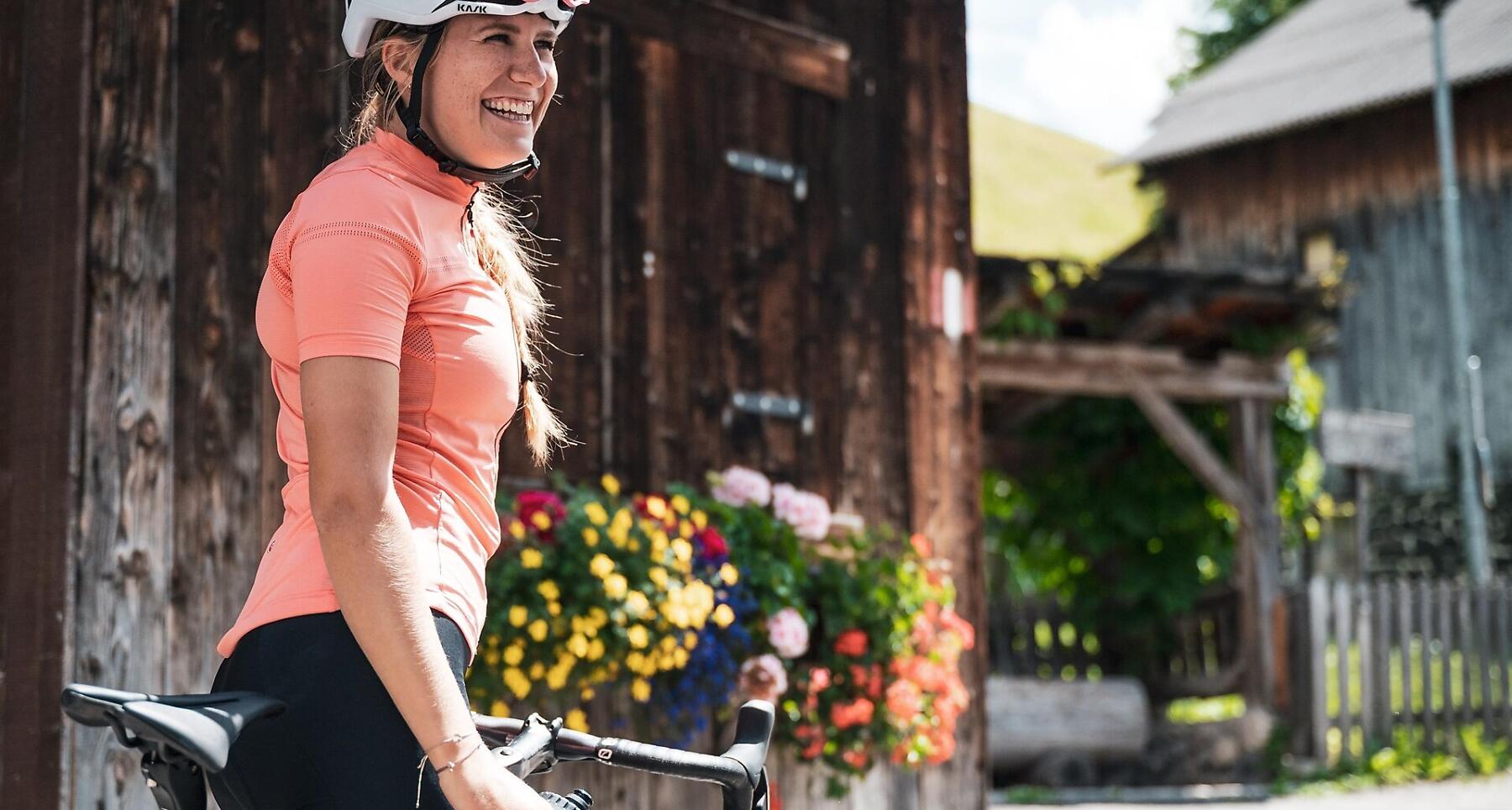

From Corvara to Longiarù by bike, pedalling through La Villa, Badia and San Martino, and passing by Ciastel de Tor.
This tour in Val Badia officially starts in Corvara but can be done from any village in Alta Badia.
After an initial descent to Piccolino, the route climbs towards San Martino in Badia and the hamlet of Mirí. The road to Mirí is a lesser-known and quiet alternative, away from main traffic, but requires good fitness.
Along the way, you pass Ciastel de Tor, home to the Ladin Museum. The ride can be extended to the peaceful village of Longiarü before returning along the same route.
An ideal route for those looking to explore a quieter and more authentic side of Val Badia.
Roadbook
Start in Corvara (or another village in Alta Badia) and descend along the SS244 to Piccolino.
Follow the road towards San Martino in Badia and continue to Mirí via a quiet secondary road.
Pass Ciastel de Tor and optionally continue to Longiarù (Campill).
Return along the same route to the starting point.
Public transport
In order to encourage sustainable mobility, choose environmentally friendly means of transportation, such as public transport.
How to get there
Starting point: Corvara.
Easily accessible from all Alta Badia villages via the SS244.
Coordinates
- DD 46.549134, 11.870925
- DMS 46°32'56.9"N 11°52'15.3"E
- UTM 32T 720088 5159067
- w3w ///cheerful.barring.steam