






Passo Gardena - Pisciadú - Colfosco
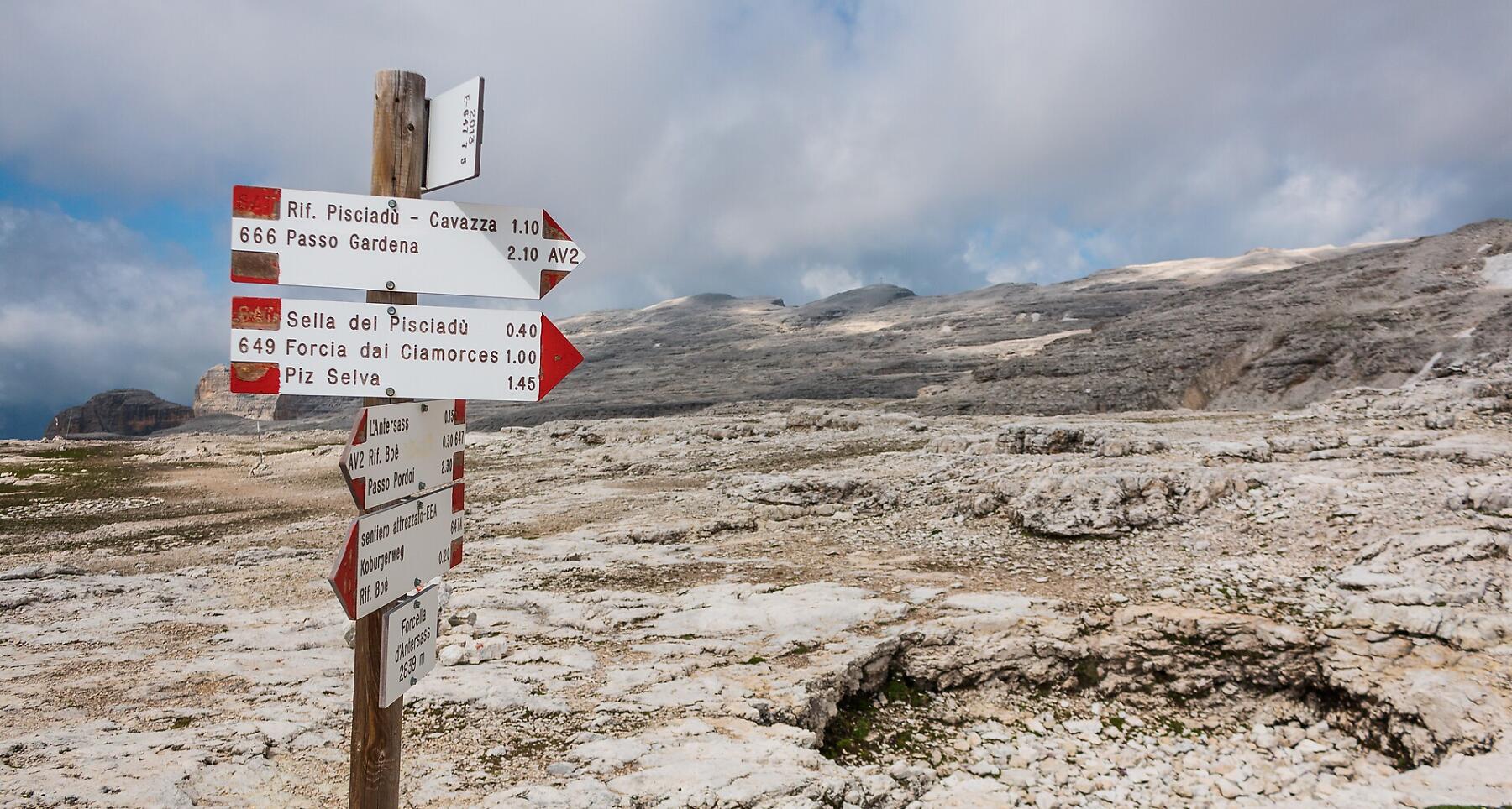


Challenging hike which brings you from the Val Setus to the Pisciadú hut and returns to Colfosco passing through the Val Mezdì.
Roadbook
From Passo Gardena, trail no. 666 climbs the grassy ridge that leads to the Grup dl Sela craggy walls in a south-east direction. The trail continues, over even ground to begin, then slightly downhill, reaching the entrance to Val Setus. Twisting and turning, climb the steep scree slope until you come to the gully's fork, then go left (fixed metal ropes) quickly reaching the great overhang that crosses the entire Sella massif. Going left, it will only take a few minutes to come to the Pisciadú hut. (2h 10min.). Close by is the Pisciadú lake. The descent is firstly eastwards past the great terrace (no. 676), then down again through the Val di Bosli craggy overhanging sides (fixed metal ropes), arriving below in the Val Mezdì. Now follow a gravel track, before continuing on a trail on good conditions and you are out of the Val Mezdì. The view out over the valley bottom's green meadows in enchanting, with their contrast against the light colour of the rocky sides. Next to the river, descend to the larch-covered plain, then through meadows on trail no. 650, and you will arrive in Colfosco.
Public transport
Getting to the starting point of the tour or point of interest by public transport is easy and convenient.
How to get there
Follow the SS244 Val Badia road towards Corvara and continue on road SS243 to Colfosco.
Coordinates
- DD 46.549860, 11.808307
- DMS 46°32'59.5"N 11°48'29.9"E
- UTM 32T 715285 5158975
- w3w ///particle.acquisition.bystanders