






Hike Planac - Cherz
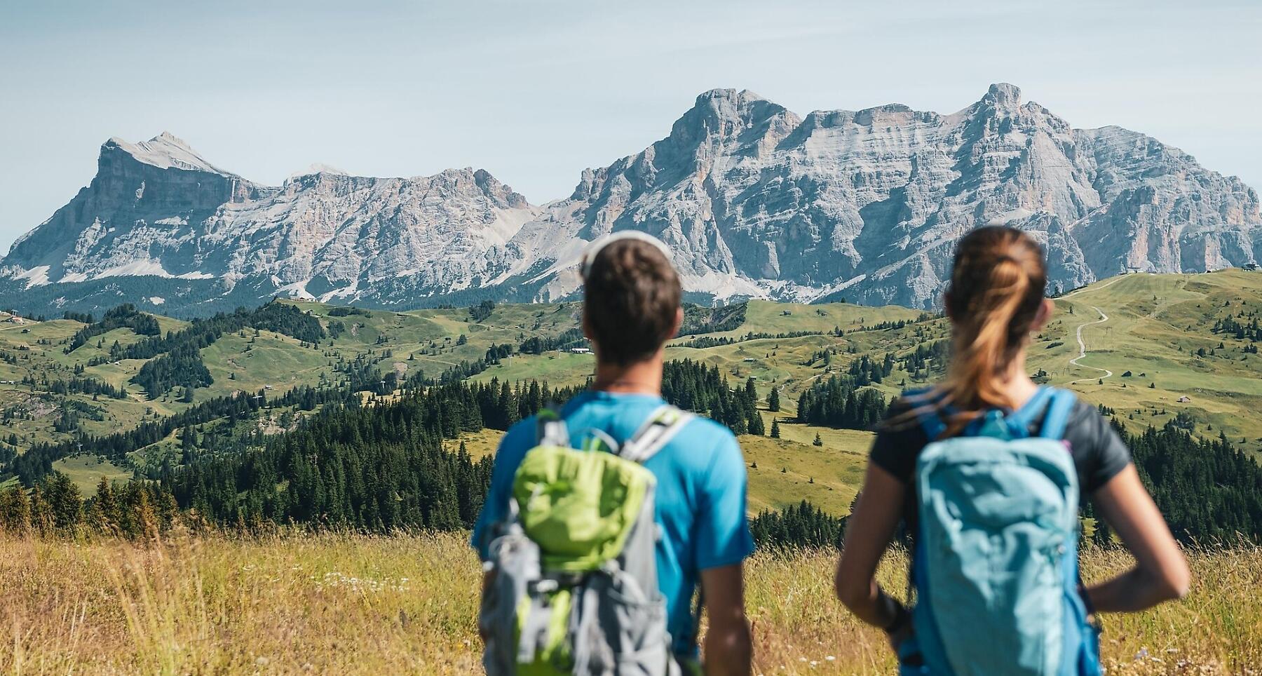


Leisurely high-altitude hike from Planac to the Cherz Plateau in Corvara – flower-filled meadows, shady woods and stunning views.
A pleasant and relaxing walk, on the plateau above Corvara, through flowering meadows and shady woods, with a stunnig view.
Roadbook
The two hour walk begins by heading south from the top of the Pralongá chairlift - in the district of Planac - on trail nr. 3A through the meadows, to the Inzija pass. From the pass you go down to the left, still on trail nr. 3A, then up and to the right on the southeast part of the Marentas ridge until you reach the lush meadows of the Sela de Forceles. You carry on through pastures and open forests and reach the Cherz hut.
The return journey goes northwards, on path nr. 26, slightly downhill. First you go through the meadows then through a pine forest until you reach the golf course and finally the starting point, Planac.
The top station of the Pralongá chairlift can also be reached on foot from Planac in about 1 hour and 15 minutes, on trails no. 24 and no. 25.
Public transport
Getting to the starting point of the tour or point of interest by public transport is easy and convenient.
How to get there
Follow the SS244 Val Badia road towards Corvara.
Coordinates
- DD 46.534995, 11.904779
- DMS 46°32'06.0"N 11°54'17.2"E
- UTM 32T 722741 5157591
- w3w ///downright.generations.lying