






From the hut Ütia Gardenacia to the Col Plö Alt
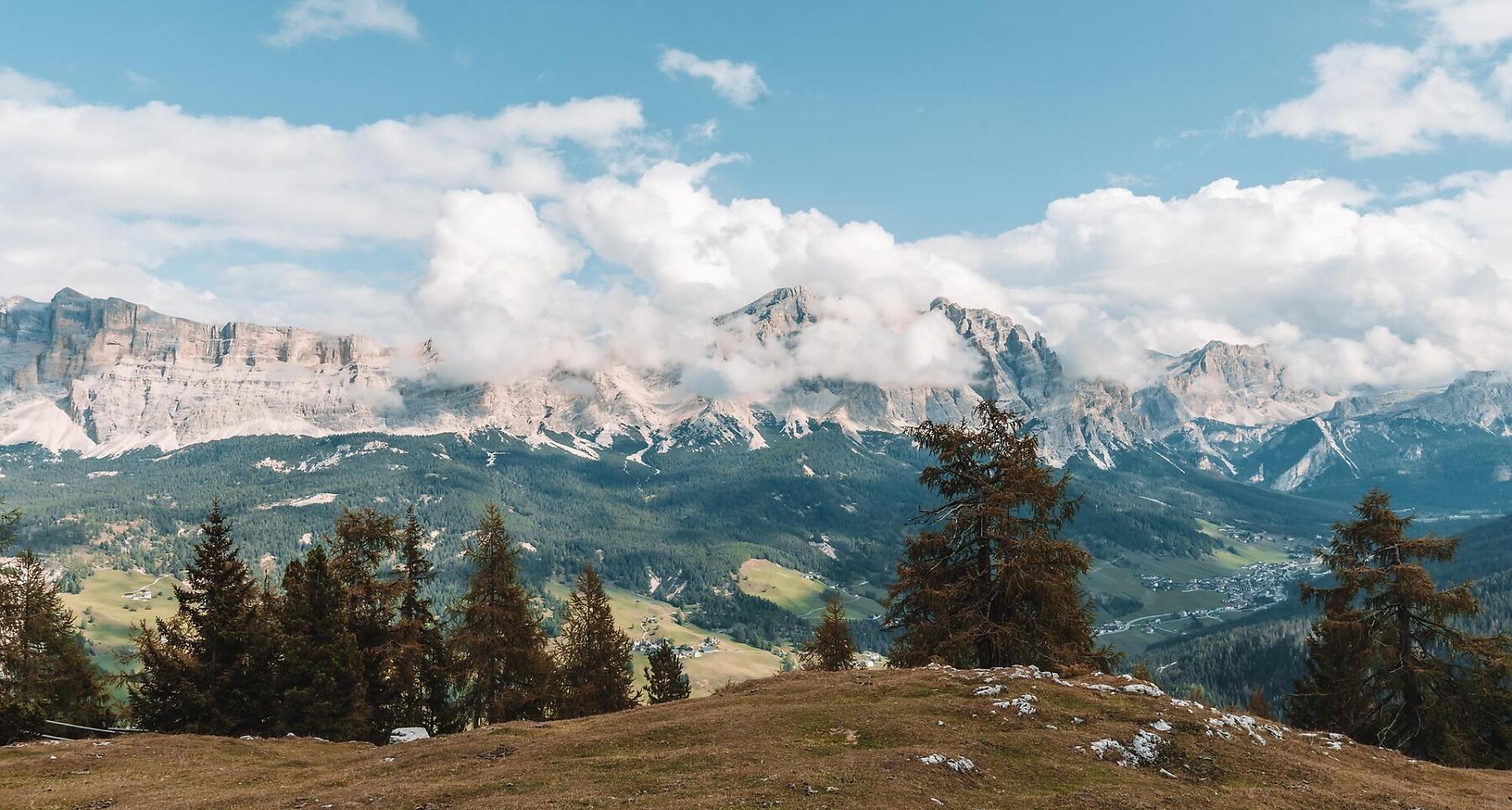
Peace, alpine charm, and breathtaking views – the hike to Col Plö Alt in La Villa is pure mountain magic.
The Ütia Gardenacia hut above La Villa is an excellent starting point for a number of different walks in its vicinity, to absorb the peace and quiet that still reigns in this area.
If you're lucky, you may even see the chamoix goats and marmot squirrels which, in the company of the cows and horses, thanks to the abundant and nutritious grass in the high mountain pastures.
Roadbook
From the Ütia Gardenacia hut, climb in a north-west direction following trail nr. 1A, reaching the first meadow plateau and then, after crossing extensive displays of mugo pines, into a second.
From here, continue across a grassy valley towards Pre Janin, which is about a half hour’s walk from the refuge. Walking westwards along a pine-covered ridge, you will come to a slight slope. After crossing this, you will reach a rocky outcrop. Continue west, then north, meeting trail no. 1. Still heading north, cross over rocky slabs and after one final, short climb, you will come out in Somamunt. Col Plö Alt can be seen to the east, with its distinctive cross (2331 m) (1h 10min.), and is an excellent panoramic viewing point.
Return to the refuge on the same path (50min.).
How to get there
Follow the SS244 Val Badia road towards La Villa.
Coordinates
- DD 46.584760, 11.879547
- DMS 46°35'05.1"N 11°52'46.4"E
- UTM 32T 720604 5163050
- w3w ///blinked.exults.detect