






From La Villa to the Ütia Gardenacia hut
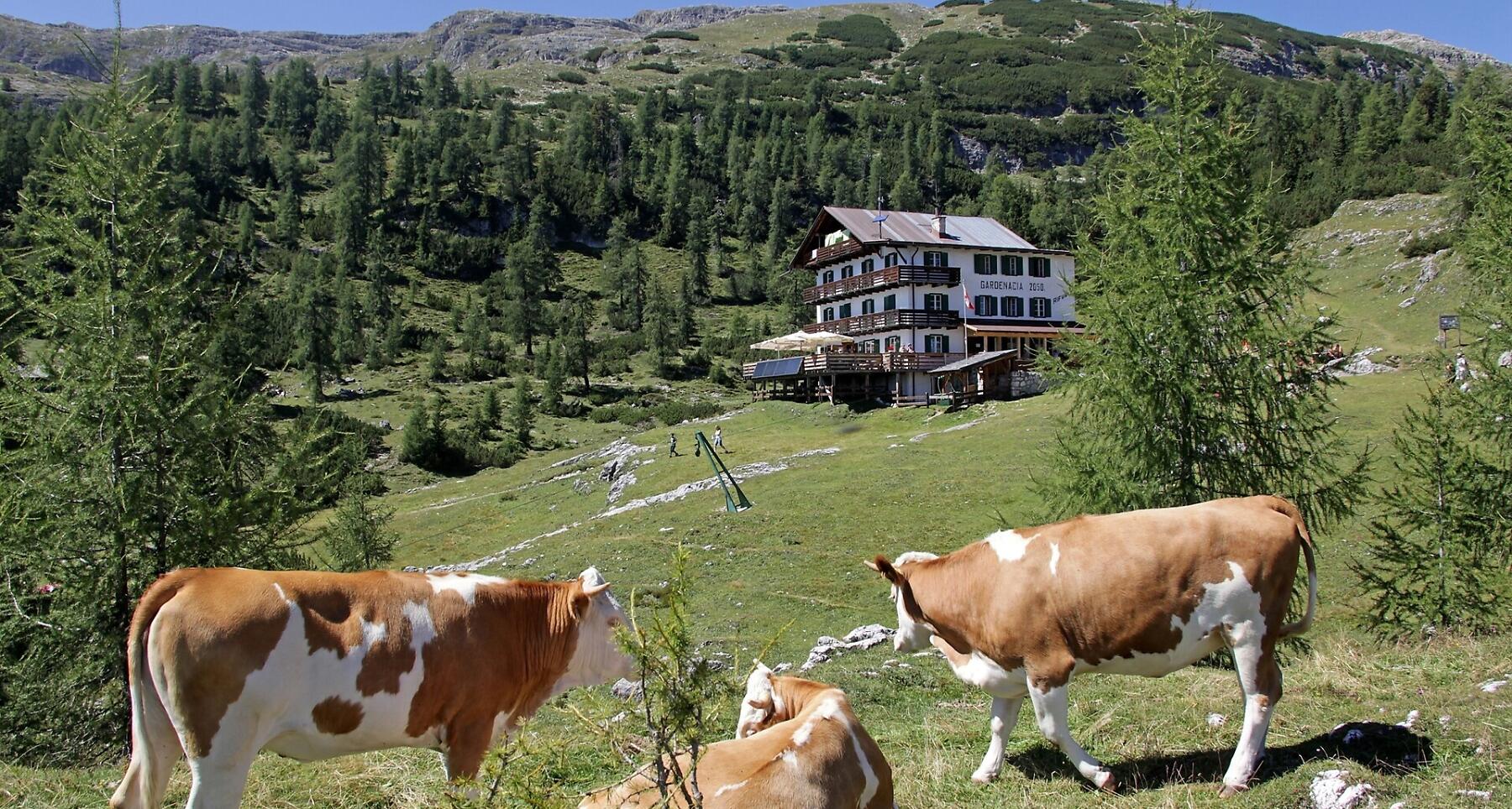


Ütia Gardenacia sits above La Villa, surrounded by larch meadows with stunning views over Alta Badia and the Dolomites.
The Ütia Gardenacia hut lies at the eastern end of the Nature Park Puez-Odle over the village of La Villa, in the middle of green meadows dotted with larches. It offers a spectacular view over the villages of Alta Badia and its mountains, such as the Sas dla Crusc, Lavarela and Conturines, while in the distance the Tofane, the Pelmo, the Civetta and the Marmolada can be discerned.
Roadbook
From the Gardenaccia chairlift top station (1782 m) head north and then go uphill on the left following trail nr. 5, that becomes ever steeper through mugo pines to a small notch. On an series of ups and downs under the face of the Gherdenacia mountain, you will reach the high plateau, before finally arriving at the Ütia Gardenacia hut (2051 m) (45 min.). The refuge is an excellent starting point for a number of different walks to admire the peace and quiet that still reigns in this area. To return, take trail nr. 11 (1 h 15 min.) south-eastwards from the refuge, descending into a tightly winding gorge then, keeping to the left (safety cable) continue until you reach a junction.
Trail nr. 11B leads to the Gardenaccia chairlift top station (10 min.). Alternatively, take trail nr. 11 that descends through the wood to the church of La Villa.
Public transport
Getting to the starting point of the tour or point of interest by public transport is easy and convenient.
How to get there
Follow the SS244 Val Badia road towards La Villa.
Coordinates
- DD 46.588134, 11.886588
- DMS 46°35'17.3"N 11°53'11.7"E
- UTM 32T 721130 5163444
- w3w ///amply.damp.calculates