






From La Villa to the Puez Nature Park – UNESCO World Heritage
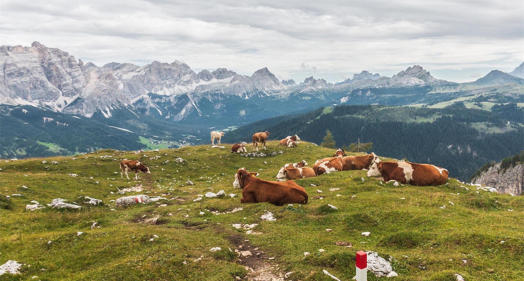


Alpine vastness and pure nature: the Puez group hike dazzles with unique flora and fauna.
A mountain tour that starts in La Villa and crosses the entire eastern end of the Nature Park Puez-Odle. The Puez plateau, likened by many to a lunar landscape, is also famed for the beauty and variety of its mountain flora.
Roadbook
From the Gardenaccia chairlift top station (1782 m), head north then go uphill on the left following trail no. 5, that climbs steeply through Alpine pines to a saddle. After some uphill and downhill stretches under the craggy faces of the Gherdenacia mountain, you will finally arrive at the plateau and at the Ütia Gardenacia hut (2051 m) (45min.). Continue uphill on trail no. 11 then turn into no. 15 on the left. After climbing over several rocky sections, you will come to the Forcela de Gherdenacia notch. Cross the slightly downhill-sloping irregularly-shaped Puez plateau, passing the Col dala Soné mountain, until you meet first trail no. 5, then no. 2 to finally reach, after a gentle climb, the Ütia de Puez hut (2475 m) (3h 25min.). You
can return by the same path (3h 30min.), or by taking trail no. 2 and no. 4 to descend to Colfosco (2h 25min.).
Public transport
Getting to the starting point of the tour or point of interest by public transport is easy and convenient.
How to get there
Follow the SS244 Val Badia road towards La Villa.
Coordinates
- DD 46.588161, 11.886606
- DMS 46°35'17.4"N 11°53'11.8"E
- UTM 32T 721131 5163447
- w3w ///antiquated.bottlers.disposition