






From La Val to the Rit meadows
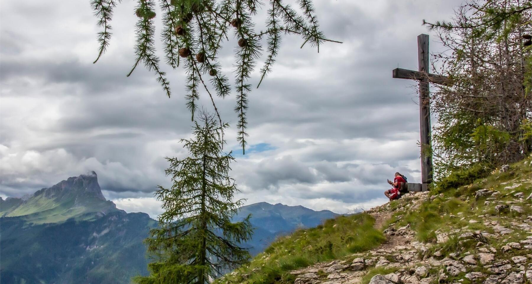


Peace, nature, wide views – to the Rit meadows with panoramic vistas over La Val and the Dolomites.
The destination of the hike, the green meadows of Rit, within the Fanes-Sennes-Prags Nature Park, a UNESCO World Heritage Site, are an expression of an untouched natural environment, peace, and tranquility, where you can immerse yourself and breathe in the delicate scent of wild orchids.
After two hours of walking, you will reach the Crusc da Rit cross, where a breathtaking panorama will unfold before you, spanning from the Sas dla Crusc massif to the Pütia mountain. From this vantage point, you will be able to distinguish the three churches of La Val.
Roadbook
From the centre of La Val follow path no. 6 to the small church of Santa Barbara. Climb up on the left along the same path to the farmsteads Ciablun, Runch and Biei. You can also reach Biei by car. From follow trail no. 6 to reach the Rit lake (protected biotope). First take path no. 15 on the right and at the crossroads continue following the signs no. 13 (mule track) to the Rit meadows.
We recommend a short diversion to the Crusc de Rit cross, the most scenic point of the hike, which can be reached in a few minutes by following the path on the right. On the way back, continue eastwards on path no. 13 along a grassy ridge to the Ütia da Rit mountain hut (closed in winter). From here you descend to the hamlet of Spëscia on path no. 16 returning to the centre of La Val.
Public transport
Getting to the starting point of the tour or point of interest by public transport is easy and convenient.
How to get there
Follow the SS244 Val Badia road towards Pederoa and continue on road SP60 to La Val.
Coordinates
- DD 46.657484, 11.924623
- DMS 46°39'26.9"N 11°55'28.6"E
- UTM 32T 723757 5171257
- w3w ///ramparts.exhausting.buds