






From La Val to the Fanes alp
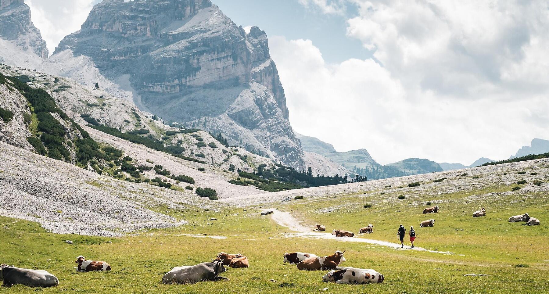

Scenic mountain hike from La Val over the Antoniusjoch to the idyllic Fanes Alm.
A demanding hike with an ascent to the Ju de Sant Antone pass, with a total altitude difference of 932 m. The excursion starts with an easy walk, which gradually becomes steeper as you approach the beautiful pastures on the edge of La Val. The forest, which has accompanied the walk so far, also comes to an end, to make way for pine trees and the typical vegetation of the Fanes valley. The descent to Fanes is easy.
Roadbook
Start from the Spëscia parking area in La Val and take path no. 13, which will lead you to the first stage of the tour, the Ju de Sant' Antone Pass, in approximately 2.5 hours. Continuing along the same marked trail, you will reach the Lavarella, Pice Fanes, and Fanes mountain huts after about another hour. A short detour to the picturesque Le Vërt Lake is highly recommended. To return to your starting point, follow the same route in reverse.
Public transport
Getting to the starting point of the tour or point of interest by public transport is easy and convenient.
How to get there
Follow the SS244 Val Badia road towards Pederoa and continue on road SP60 to La Val.
Coordinates
- DD 46.647142, 11.954502
- DMS 46°38'49.7"N 11°57'16.2"E
- UTM 32T 726086 5170194
- w3w ///acknowledged.permanently.rescues