






From La Val to Corn
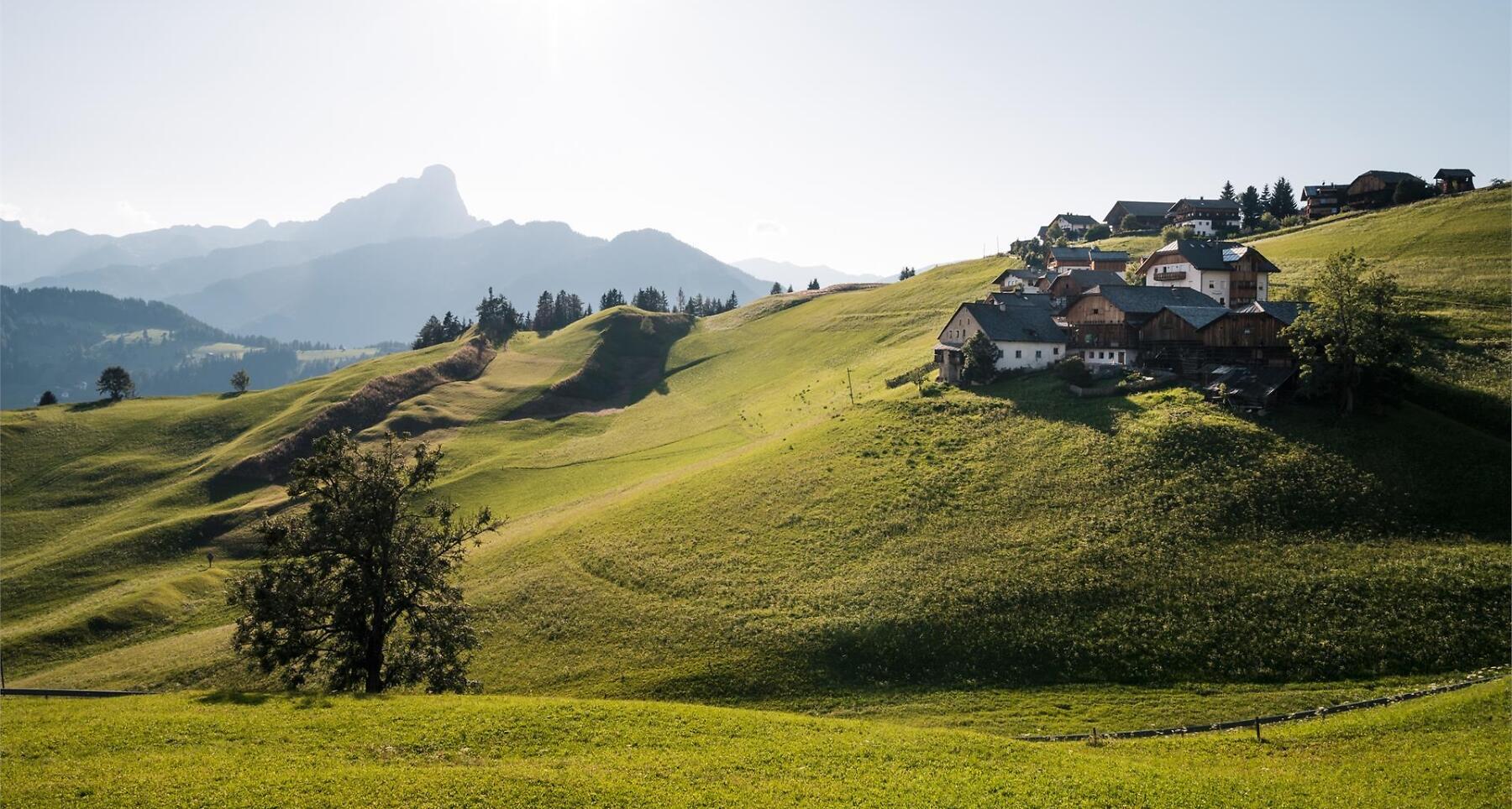


Tranquility and typical Viles lead you to Corn Plateau, offering views of San Vigilio and Sas de Pütia.
The characteristic rural landscapes of the valley will envelop you during the entire route. You will be immersed in the tranquillity of the area: as you look around you will be able to observe some of the most characteristic "viles" of Val Badia. Viles are the typical widespread rural settlements, composed of several farmhouses.
Continuing along the path, you will reach the Corn plateau, one of the few panoramic points from where you can see the village of San Vigilio on one side, and San Martin with the Pütia mountain in the background, on the other one.
Roadbook
The circular route starts in the village centre and continues along path no. 6 to the small church of Santa Barbara, the emblem of La Val. Continue left to the hamlets of Ciablun, Runch and Biei, you can also arrive here by car. The slightly uphill route follows forest road no. 5 to continue on paths no. 4B and no. 4 to Corn, the destination of the hike (1894 m). For the return journey, follow path no. 4 to Ciampëi from where you return to the village of La Val along the main road.
Public transport
Getting to the starting point of the tour or point of interest by public transport is easy and convenient.<time datetime="2022-05-06T06:31:29"></time>
How to get there
Follow the SS244 Val Badia road towards Pederoa and continue on road SP60 to La Val.
Coordinates
- DD 46.657864, 11.923864
- DMS 46°39'28.3"N 11°55'25.9"E
- UTM 32T 723698 5171297
- w3w ///areas.armfuls.blunter