






Farmhouses tour in La Val
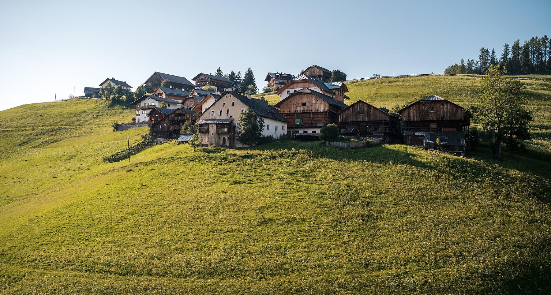


Gentle walk through traditional Viles with views of Sas dla Crusc and Pütia, featuring historic churches.
The Dolomites, with the mountains of Sas dla Crusc on one side and Pütia on the other one, provide the frame for the expertly and lovingly mown and tended meadows, old barns and farmsteads with the gardens of the 'viles', the traditional rural settlements in the oldest part of La Val. During this simple walk through the old farmsteads of the village, you will feel enveloped by the still living tradition and culture of the village. In addition, on your way you will see the little church of St. Barbara, the symbol of the village, and the bell tower of the old church of La Val.
Along the trail, there are two farmhouses, "Ciablun" and "Lüch de Survisc", where you can stop to savour the authentic and genuine dishes of the Ladin cuisine.
Roadbook
Start from the church of La Val going up on the road in the direction of Cians. From this group of houses there is a flat path passing through the meadows, which leads to the little church of Santa Barbara. The path on the left continues to the farms Ciablun, Runch and Biei. From here the path descends to the starting point.
Public transport
Getting to the starting point of the tour or point of interest by public transport is easy and convenient.
How to get there
Follow the SS244 Val Badia road towards Pederoa and continue on road SP60 to La Val.
Coordinates
- DD 46.657537, 11.924292
- DMS 46°39'27.1"N 11°55'27.5"E
- UTM 32T 723732 5171262
- w3w ///bottlers.flaming.handover