






Climbing the Gran Cir peak at sunrise
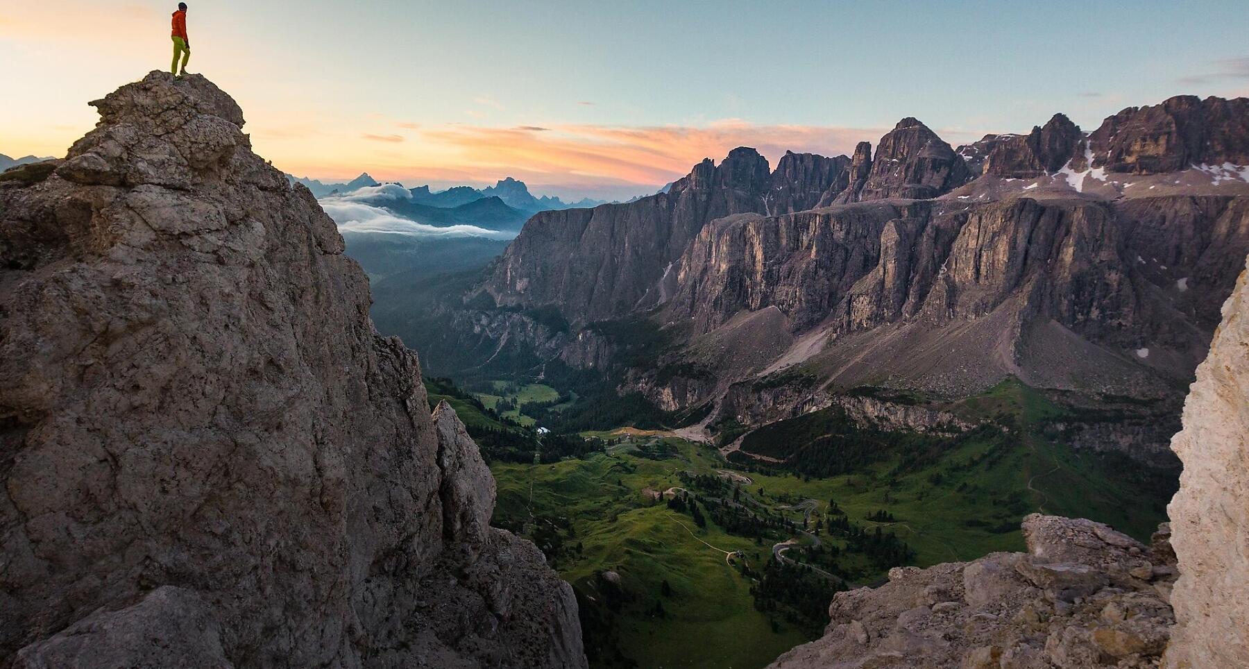

Via ferrata to the Gran Cir peak, north of Passo Gardena in Colfosco, with low exposure and reduced technical difficulties.
The first moments of the morning at the top of a peak, when the shy rays of the sun illuminate the surrounding rocks, making them glow a warm orange-gold colour: breathtaking moments that will remain engraved in your heart forever.
Just outside Colfosco, on the bends of the Gardena pass, you can enjoy the inimitable spectacle of the Dolomite sunrise as you climb the peaks of the Cir group. Of all the possible climbs, that to the summit of the Gran Cir is the least difficult.
Roadbook
Reach the Passo Gardena (2121 m), where you can also park, and head north on a dirt road that rises up to the mountain station of the Dantercepies cabin lift. Continue through the meadows until the gravel canal to the west of the Gran Cir. Here a well-marked path leads to the canal exit with safety ropes (about 30 min. of climb). Continue uphill zigzagging up to the base of the rock. A pleasant and not too demanding climb leads to the Cir summit (2592 m). Follow the same route to descend.
We recommend that you tackle the hike with appropriate via ferrata equipment.
Public transport
Getting to the starting point of the tour or point of interest by public transport is easy and convenient.
How to get there
Follow the SS244 Val Badia road towards Corvara and continue on road SS243 to Colfosco.
Coordinates
- DD 46.549786, 11.808522
- DMS 46°32'59.2"N 11°48'30.7"E
- UTM 32T 715302 5158967
- w3w ///restates.collapses.nosh