






Climb to the Sassongher mountain
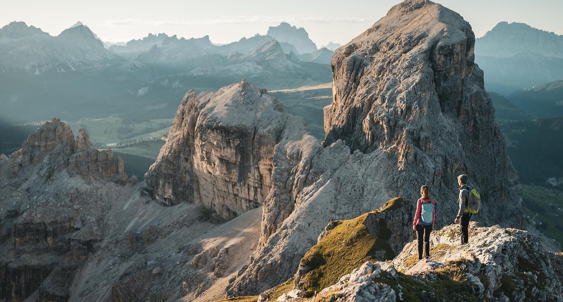
The Sassongher Mountain leads to one of the finest panoramic points in our valley.
The Sassongher Mountain is the symbol of Corvara. This moderately difficult alpine tour, some of which is secured with cables, leads to one of the finest panoramic points in our valley. At 2,665 m, the summit terrace of the Sassongher offers a 360° view of the Dolomites.
Roadbook
Starting in Colfosco - near the church - head west along trail no. 4 through the Stella Alpina valley, passing a wayside shrine, until you reach a fork. Here you leave trail no. 4, which is signposted for Puez, and take trail no. 7 to the right. The trail crosses a very steep grassy slope and leads up to the Forcela Sassongher fork. This is where the most difficult part of the climb begins. Keep right and cross a steep scree slope to reach the rocks leading up to the summit. Fixed cables help you climb the smooth rocks before you reach an uphill section that takes you across scree to the wide area at the very highest point (2,665 m).
Go down the same way. When you arrive at the Forcela Sassongher fork, continue north on mountain trail no. 5 and descend steeply to a line of rocks beneath Para da Giai. Then continue over a steep scree slope, passing the source of the Ruac stream to the Ütia de Gardenacia mountain hut. The descent continues on mountain trail no. 5 to La Villa.
Above the Ütia Sponata hut, you can shorten the descent by taking the Gherdenacia chairlift down to La Villa.
Public transport
Getting to the starting point of the tour or point of interest by public transport is easy and convenient.
How to get there
Follow the SS244 Val Badia road towards Corvara.
Coordinates
- DD 46.554518, 11.855697
- DMS 46°33'16.3"N 11°51'20.5"E
- UTM 32T 718899 5159623
- w3w ///membrane.gurgles.winded