






Circular hike on the eastern side of the Sella massif
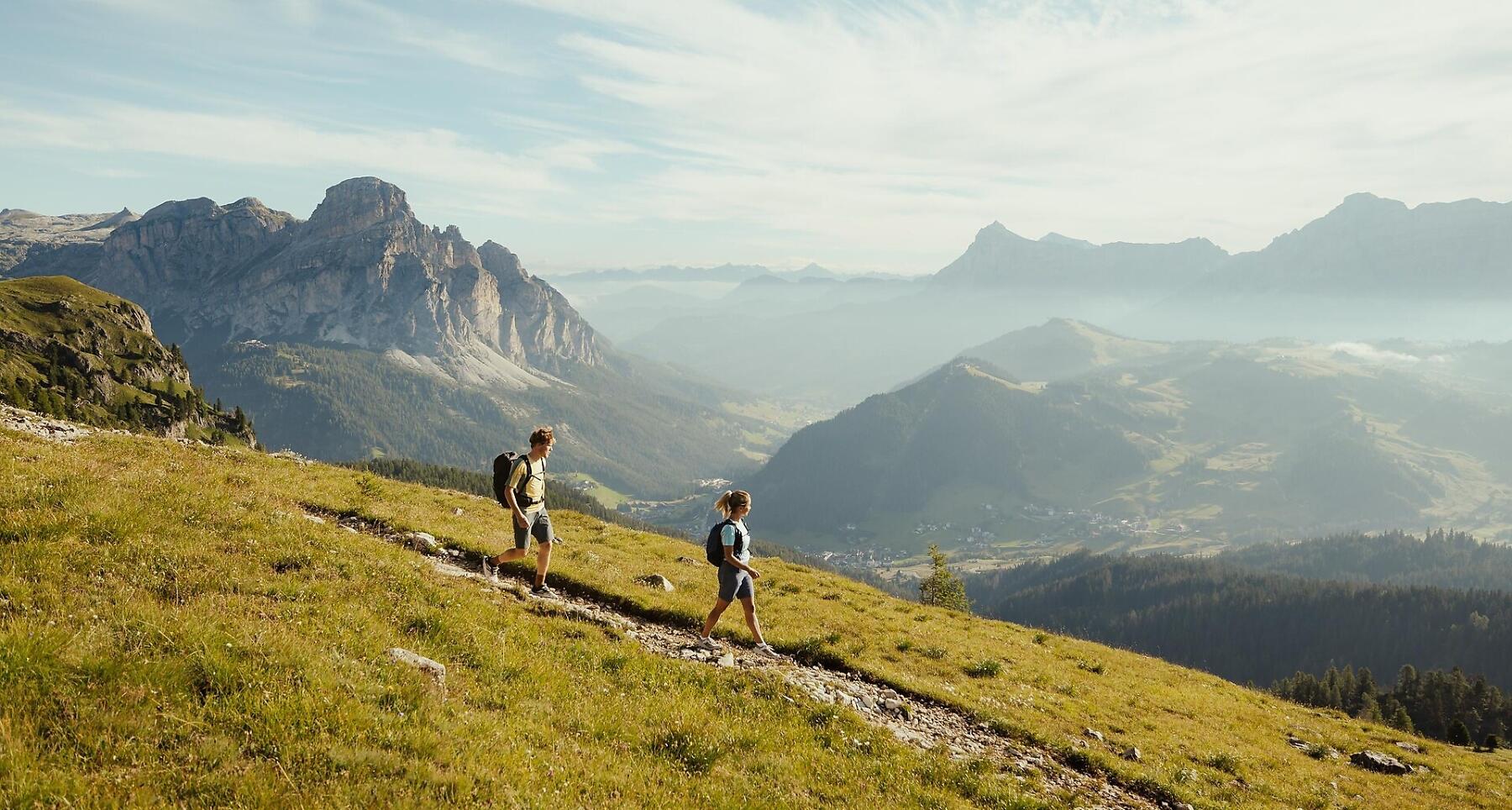


Easy loop at Sella edge with Dolomite views with start in Corvara. For fit hikers.
This hike on the eastern edge of the Sella massif, which starts in Corvara, is a circular hike with little variation in altitude that presents no great technical difficulties for hikers. Nevertheless, you need to be fit before attempting this hike, which is particularly interesting from a geological point of view as it crosses some of the characteristic rock formations of the Dolomites and has some especially interesting viewpoints.
Roadbook
The tour starts in Corvara, where you go up to the Piz Boé Alpine Lounge hut (2,224 m) – either on foot up the ski slope or on the Boé gondola lift – where the actual hike begins. Passing along the eastern slope at the foot of the Sella massif, you cross a broad meadow (in winter a ski slope) and follow mountain trail no. 638 to the Franz Kostner hut on the Vallon (2,550 m). From the hut follow trail no. 637 towards the Campolongo Pass (short equipped section with steel cables, but not exposed). After a short descent, branch off to the left just above the Bec de Roces hut. A pleasant trail takes you back to the top station of the Boé gondola lift.
Public transport
Getting to the starting point of the tour or point of interest by public transport is easy and convenient.
How to get there
Follow the SS244 Val Badia road towards Corvara.
Coordinates
- DD 46.526436, 11.862565
- DMS 46°31'35.2"N 11°51'45.2"E
- UTM 32T 719538 5156522
- w3w ///shorts.emitter.mindful