






Bike Beats - Jump Line
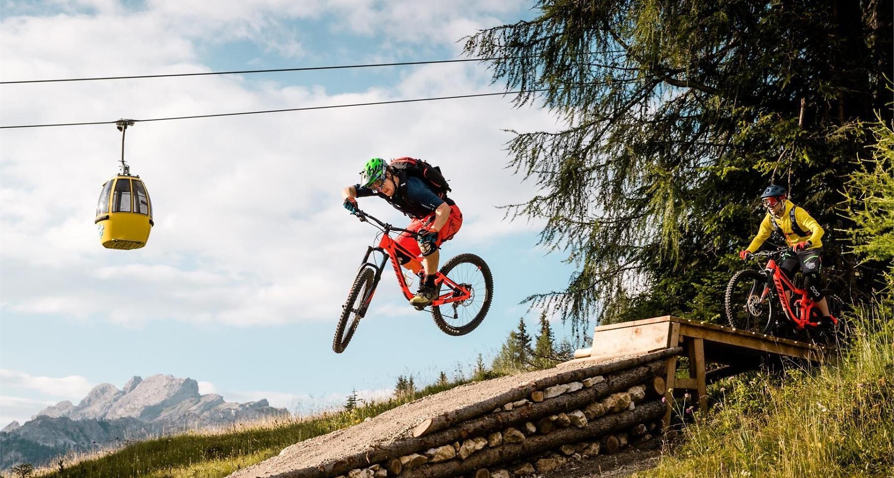

The Jump Line in San Cassiano, a variant of the Cör Trail, is the ideal route for experienced and demanding bikers.
The Jump Line, a variant of the Cör Trail, is the ideal route for experienced and demanding bikers. Riding through woods and meadows you can fill up on adrenaline while having fun on jumps of various heights and sizes. And to experience all the energy of the descent, easy drops and kickers.
Two FotoTraps, real photographic traps, will immortalize your passage.
Roadbook
After a first section through the green meadows of Piz Sorega, the trail reaches woods and slopes that are ideal to pick up speed on the flat dirt surface. After the first jump, the Mao Jump, your heart will start racing and the excitement will keep increasing during the entire ride. The second jump, “Salt tl scür” meaning a leap in the dark in Ladin, will take you to the heart of the forest where you can ride alongside coniferous trees. It is followed by a narrow wallride with a 67-degree slope and other exciting jumps. All this before the grand finale, the Wallride Jump, where your bike will make a vertical jump and reach the highest point of the wall.
How to get there
Follow the SS244 Val Badia road towards Corvara.
Coordinates
- DD 46.558769, 11.924822
- DMS 46°33'31.6"N 11°55'29.4"E
- UTM 32T 724180 5160290
- w3w ///engines.impeding.prefixes