


Path of artists - Tru di artisć

Along the San Cassiano stream from La Villa to San Cassiano: art, poetry and Ladin culture in nature on the “Tru di artisc”.
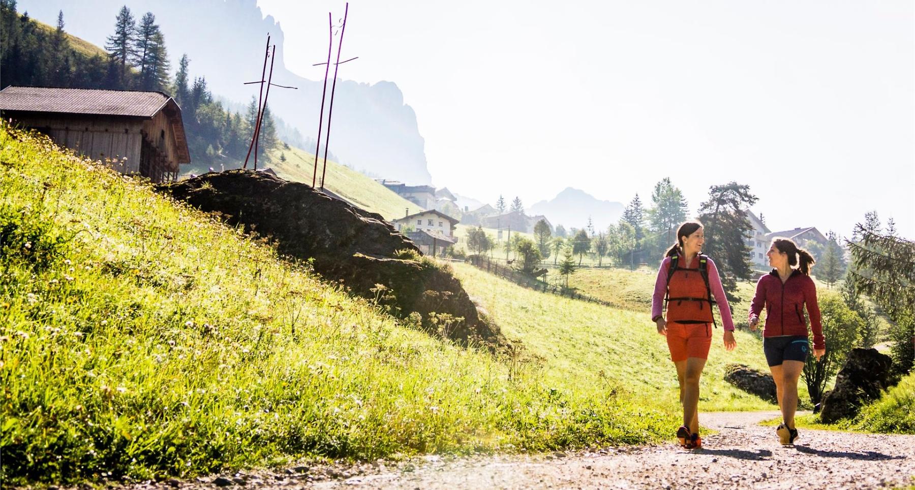
Relaxing walk by the refreshing waters of the San Cassiano stream and through shady conifer woods, sloping gently uphill from La Villa to the enchanting village of San Cassiano at the feet of the Lavarela and Conturines peaks.
The "Tru di artisc", as the path of the artists is called in Ladin, is an open-air gallery that was inaugurated in summer 2011 and is regularly enriched with artworks by various artists from the Ladin valleys. The starting point of the exhibition is in La Villa in the neighbourhood of Altin. The approximately 3.5 km long path is closed to motorised traffic and winds along the San Cassiano stream to the Museum Ladin Ursus ladinicus in San Cassiano.
As among the various artistic forms, poetry plays an essential role in addition to sculpture several panels have been erected along the path in this regard, presenting verses in Ladin language.
Roadbook
From the bus stop in the centre of La Villa, descend eastwards until you reach the San Cassiano stream and follow the directions for San Cassiano (nr. 11). The Tru di Artisc/Path of Artists starts at the electronic control unit, goes along the San Cassiano stream and will lead you to the village of San Cassiano (1526 m) (50 min.). From here, you can continue in the same direction, slightly uphill at the start but then becoming more even, through the beautiful pastures until reaching Armentarola (1621 m) and the bus stop.
Public transport
Getting to the starting point of the tour or point of interest by public transport is easy and convenient.
How to get there
Follow the SS244 Val Badia road towards La Villa.
Coordinates
- DD 46.583126, 11.903817
- DMS 46°34'59.3"N 11°54'13.7"E
- UTM 32T 722470 5162936
- w3w ///toddlers.bidder.inform