


Via ferrata Brigata Alpina Tridentina al Pisciadù


The via ferrata Tridentina in Colfosco is no doubt one of the most famous and beloved climbing routes in the Dolomites.
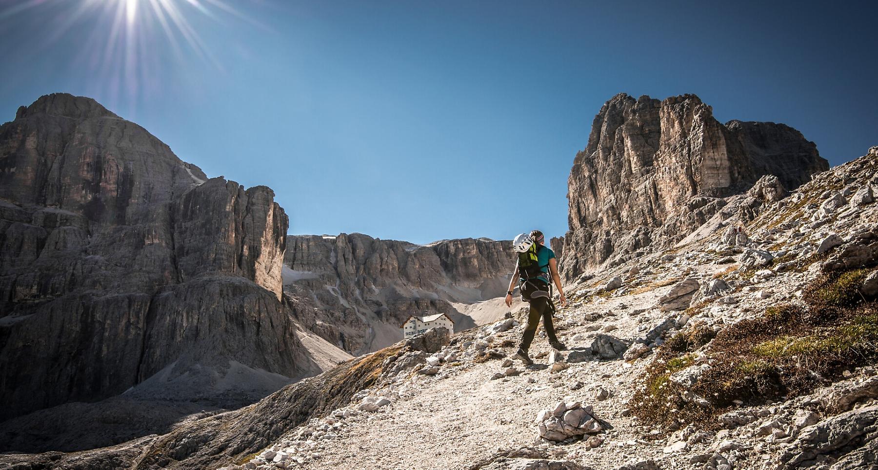
The Dolomites, which many people regard as the most beautiful mountains in the world, are an awesome challenge that climbers and mountaineers shouldn't miss. Vertical rock faces and steep towers guarantee plenty of climbing challenges. Doubtless, one of the most famous fixed-rope routes in the Dolomites is the via ferrata Pisciadú (also known as the Via Ferrata Tridentina) in the Sella massif. The via ferrata, easily reachable from Colfosco, has some intriguing vertical sections and a suspension bridge.
Roadbook
Set off from the large car park just outside Colfosco (on the road towards the Gardena Pass). After a short section secured with cables and a short walk, you reach the start.
There are fixed cables to help you overcome the rocky obstructions in the forest. Head between two massive blocks of rock and continue on the trail to the bottom of the Sella massif. Climb up the cable-secured route to the Torre Exner mountain, which you leave at the top via a little suspension bridge. A fixed-cable route and a trail lead up to the mountain hut Pisciadú.
The descent is via trail no. 666 (the normal route to the mountain hut Pisciadú) through the Val Setus valley and straight down to the car park.
Public transport
Getting to the starting point of the tour or point of interest by public transport is easy and convenient.
How to get there
Follow the SS244 Val Badia road towards Corvara.
Coordinates
- DD 46.547330, 11.821180
- DMS 46°32'50.4"N 11°49'16.2"E
- UTM 32T 716282 5158729
- w3w ///quotas.sneakily.scares