


To the Pares peak
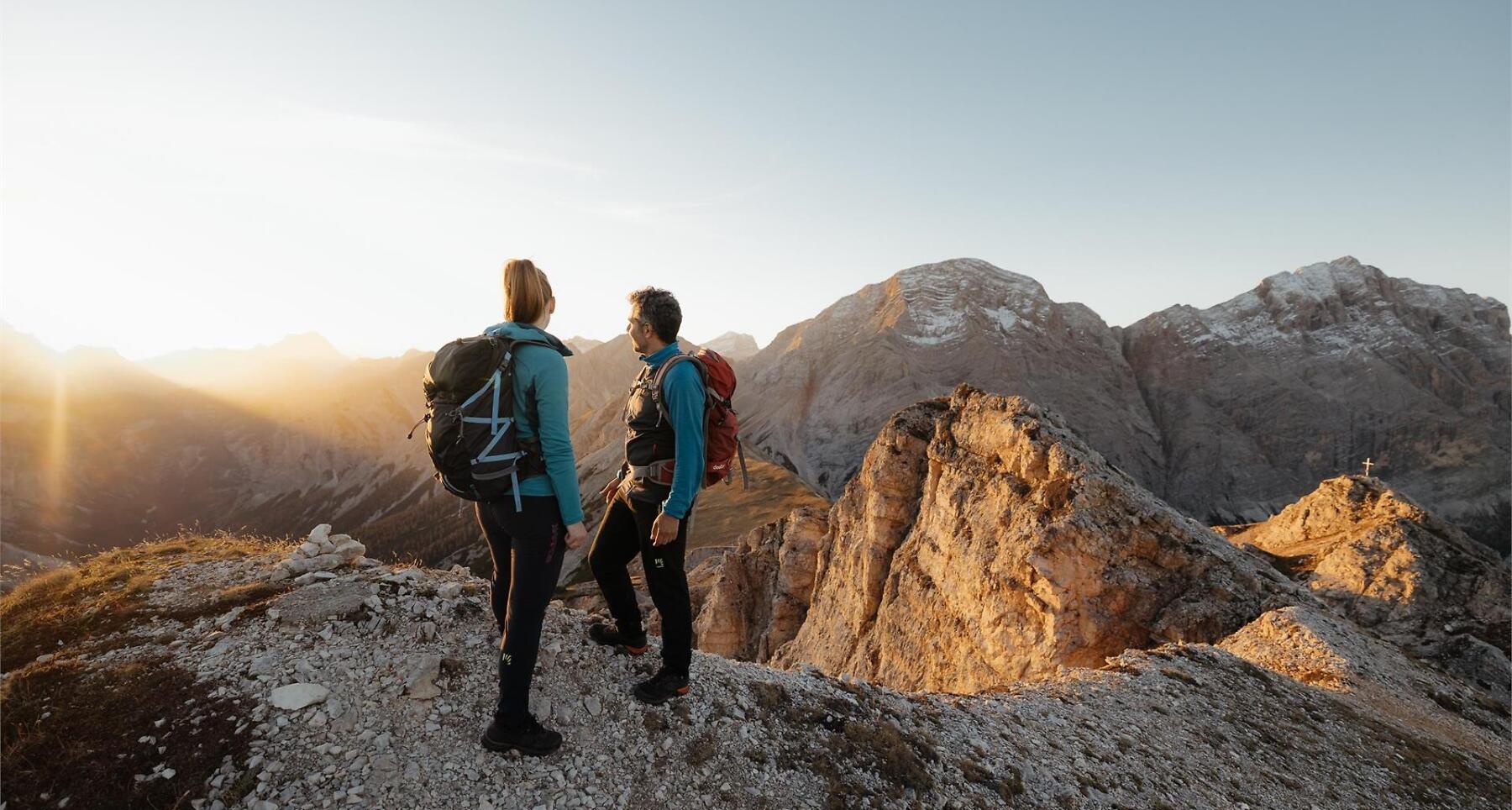

Moderate summit hike to Pares peak – a highlight in the hiking village of La Val.
Our village of La Val, known as the "Hiking Village," offers numerous hiking opportunities. One of the most scenic is the trail that leads to Pares Peak.
Roadbook
From the centre of La Val follow path no. 6 that leads to the church of Santa Barbara. From here continue on the left and you will reach the farmsteads Ciablun, Runch and Biei (also reachable by car), then head towards the woods and continue following the signs no. 5 and then no. 5B which lead to the Lech de Rit lake. Follow path no. 6 and no. 13 to the Crusc da Rit cross (2027 m). Return to the crossroads and continue along path no. 13 through meadows and lily of the valley reaching the Ütia da Rit mountain hut. For the summit of Pares, you have to take trail no. 16 for the ascent and descent. Start your descent along path no. 13A until after Ciamplorët, returning so in the centre of the village.
Public transport
Getting to the starting point of the tour or point of interest by public transport is easy and convenient.
How to get there
Follow the SS244 Val Badia road towards Pederoa and continue on road SP60 to La Val.
Coordinates
- DD 46.657971, 11.923708
- DMS 46°39'28.7"N 11°55'25.3"E
- UTM 32T 723685 5171309
- w3w ///songwriting.petted.vertigo