


Larch wood path - Tru di lersc
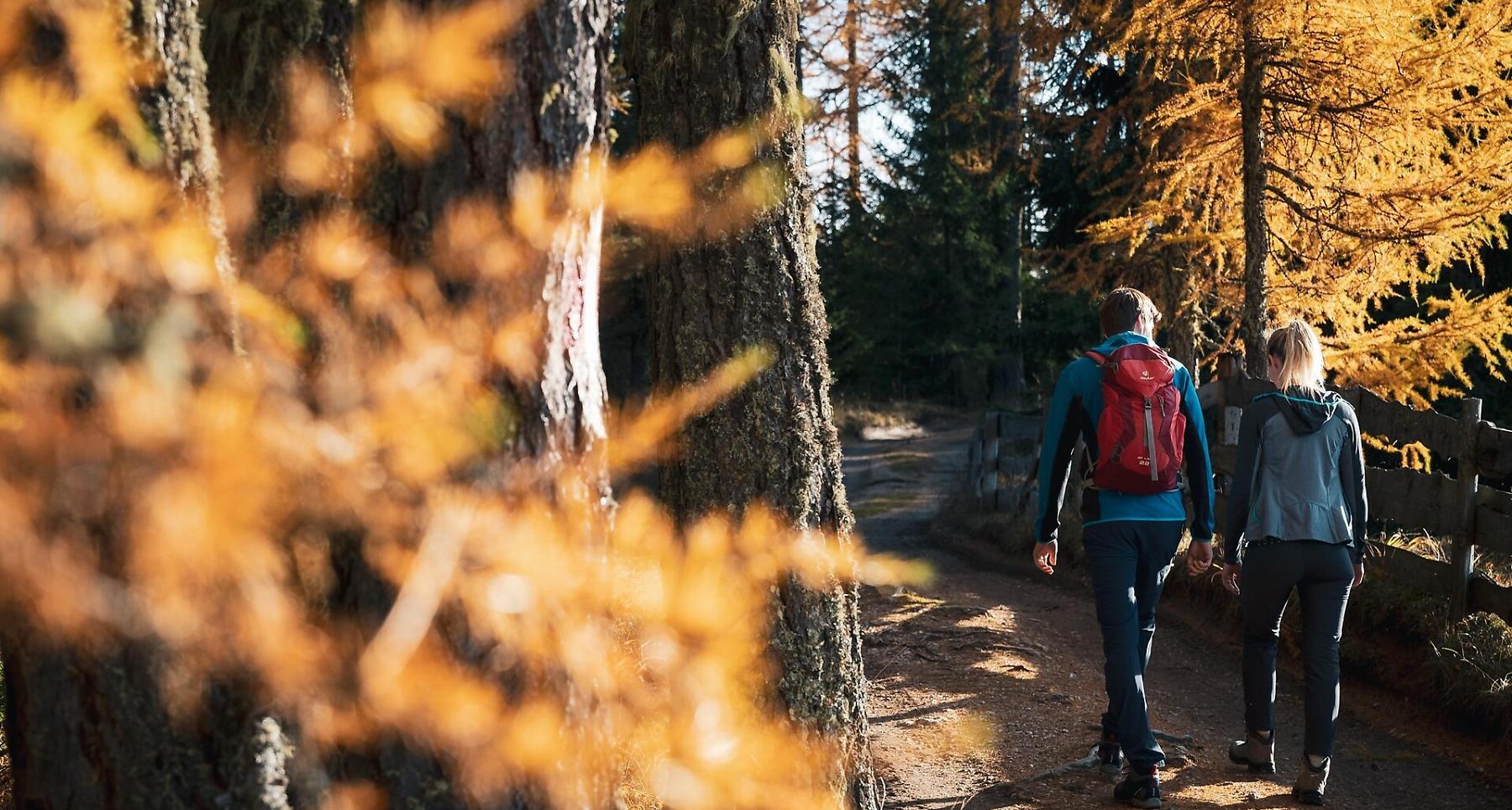

The "Tru di lersc" nature and educational trail extends for approximately 5.1 km, winding through larch forests and alpine meadows along the edges of the Fanes-Senes-Braies Natural Park, between the villages of Rü and Rüdeferia.
At the Rüdeferia farmhouse, you can admire a characteristic water mill, recently restored and now fully operational. Along the trail, designed by the Office of Natural Parks of the Province of Bolzano, you will encounter traditional features such as alpine fences and dry stone walls, as well as informational panels on the area's flora, fauna, and geology.
Roadbook
From the church of San Cassiano, take the paved road marked with number 15, heading uphill to the east until you reach the Larjëi farmhouse. From here, continue to the right along road number 15A until you reach the locality of Rü. On the left, between two fences, begins the "Tru di lersc" nature and educational trail (the larch trail), which initially climbs slightly and then descends to the Rüdeferia farmhouse (1 hour).
To return to San Cassiano (40 minutes), follow the same path south until the junction, where on the right, take path number 15, which descends towards the Larjëi farmhouse and San Cassiano.
Public transport
Getting to the starting point of the tour or point of interest by public transport is easy and convenient.
How to get there
Follow the SS244 Val Badia road towards La Villa and continue on road SS37 to San Cassiano.
Coordinates
- DD 46.571079, 11.931952
- DMS 46°34'15.9"N 11°55'55.0"E
- UTM 32T 724675 5161678
- w3w ///composed.whirlpools.swings